![]()
(Not in order)
1798
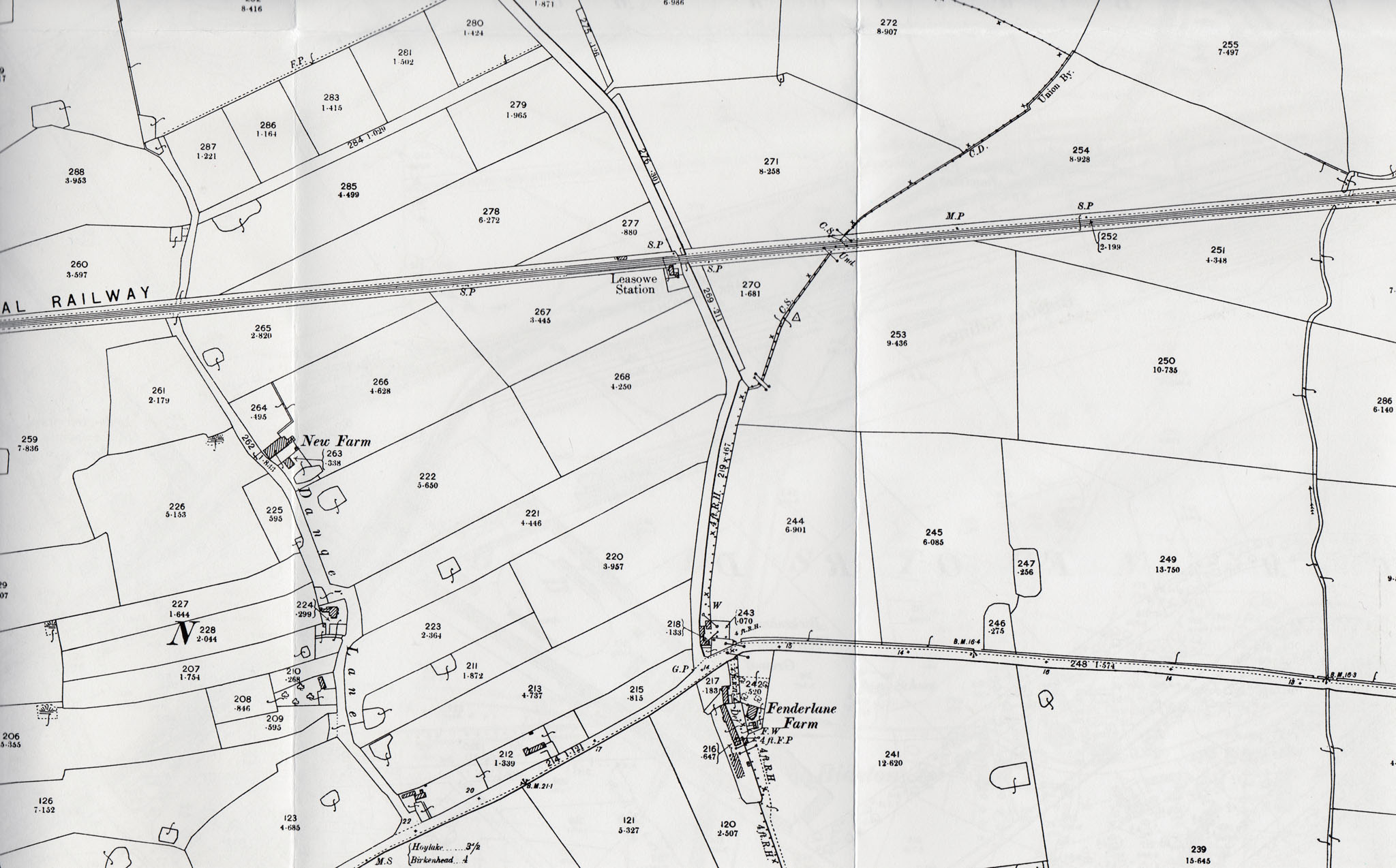
Fender Farm 1898
1611
(the double 's' on Saughall Massie was spelt as it is in Germany today)
1945
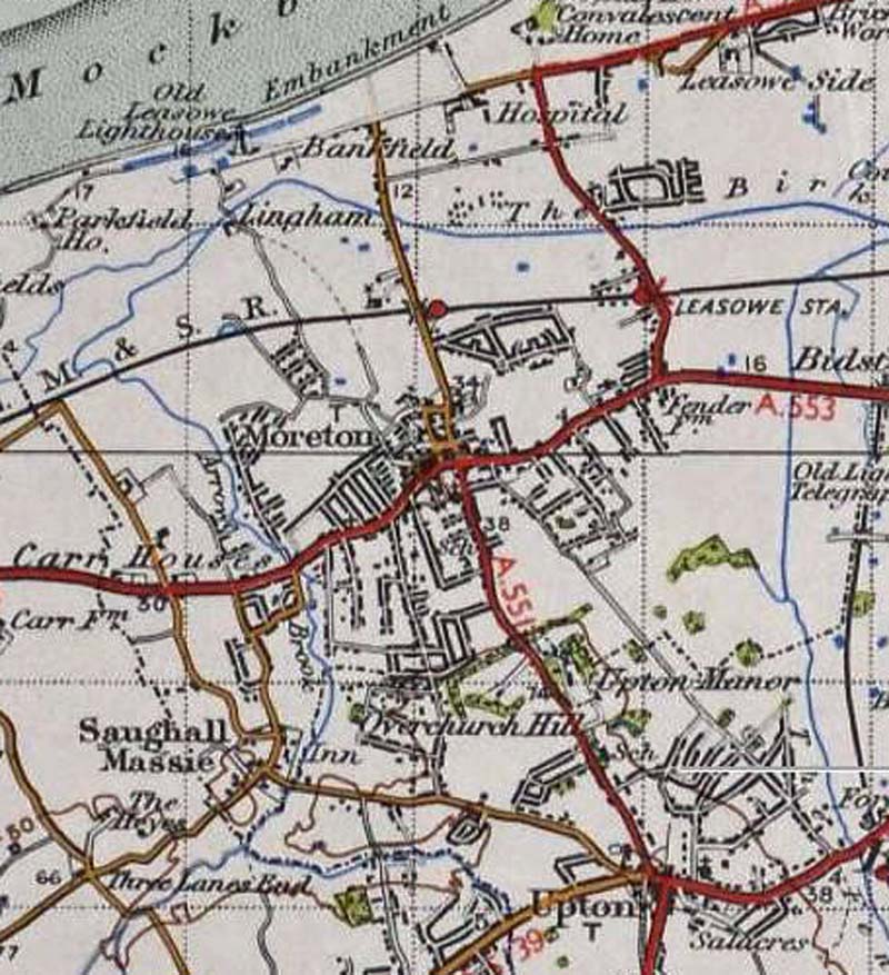
Top: Note hospital. Convalescent Home (Leasowe Castle), Leasoweside and brick works. The site of Reeds Farm is now Birket Avenue
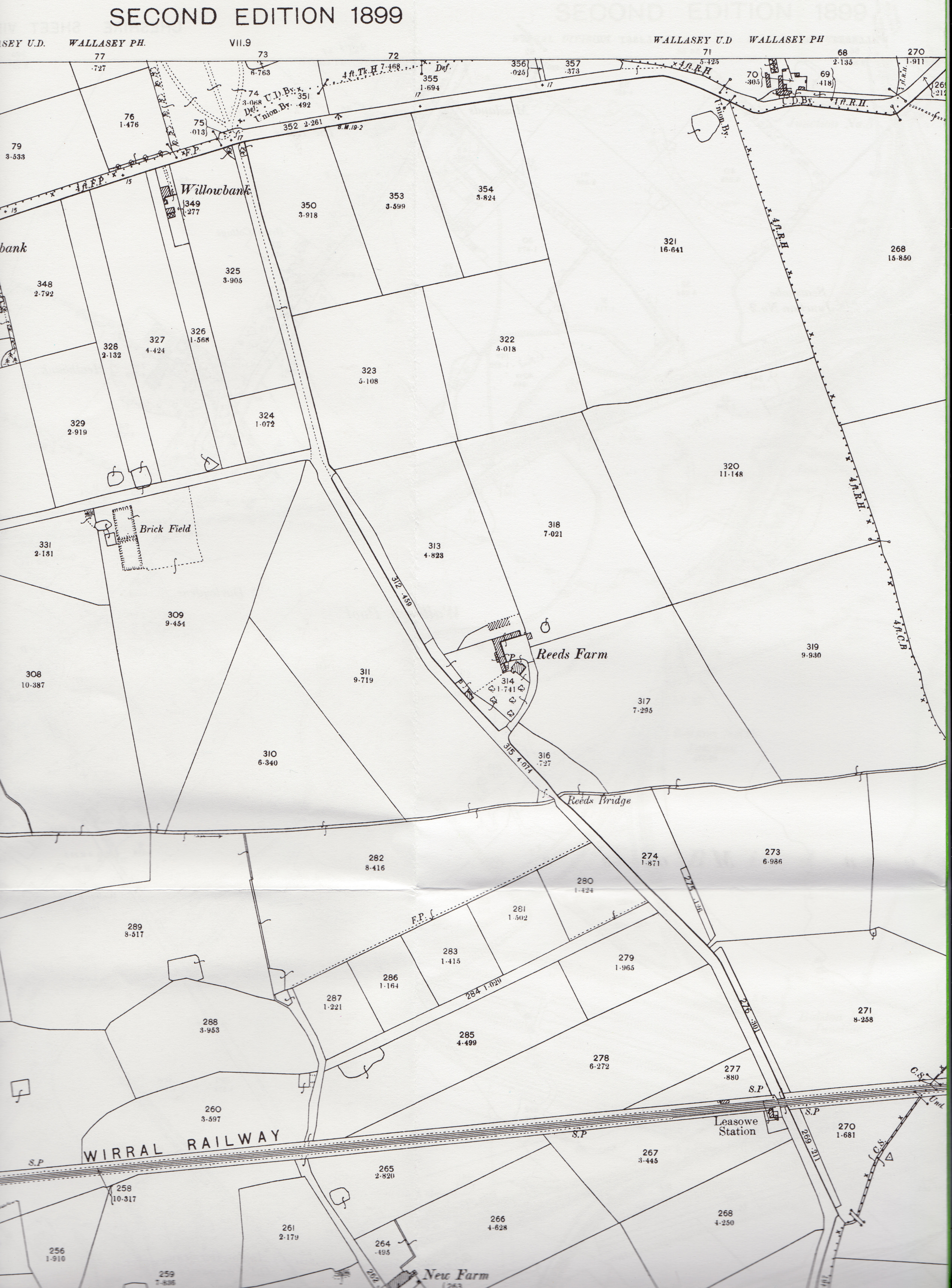
Reeds Lane 1898
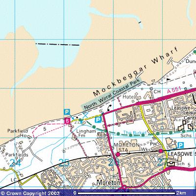
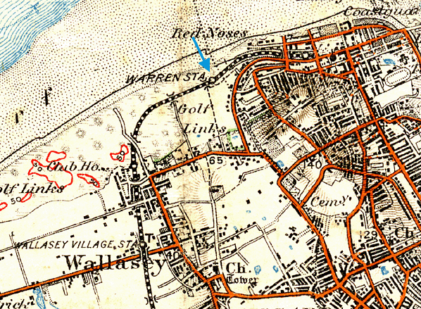
another 1898 pic of Moreton area to left
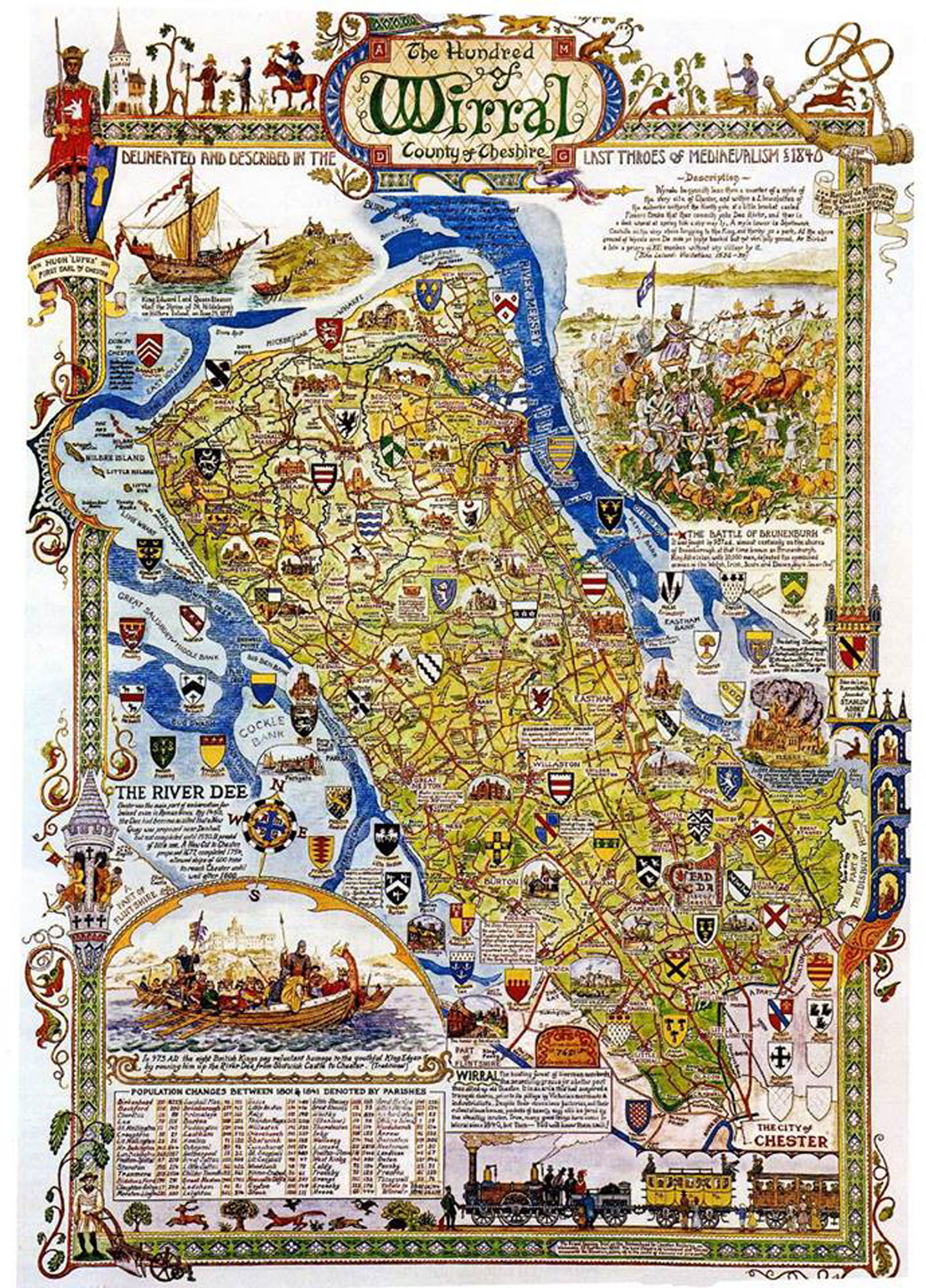
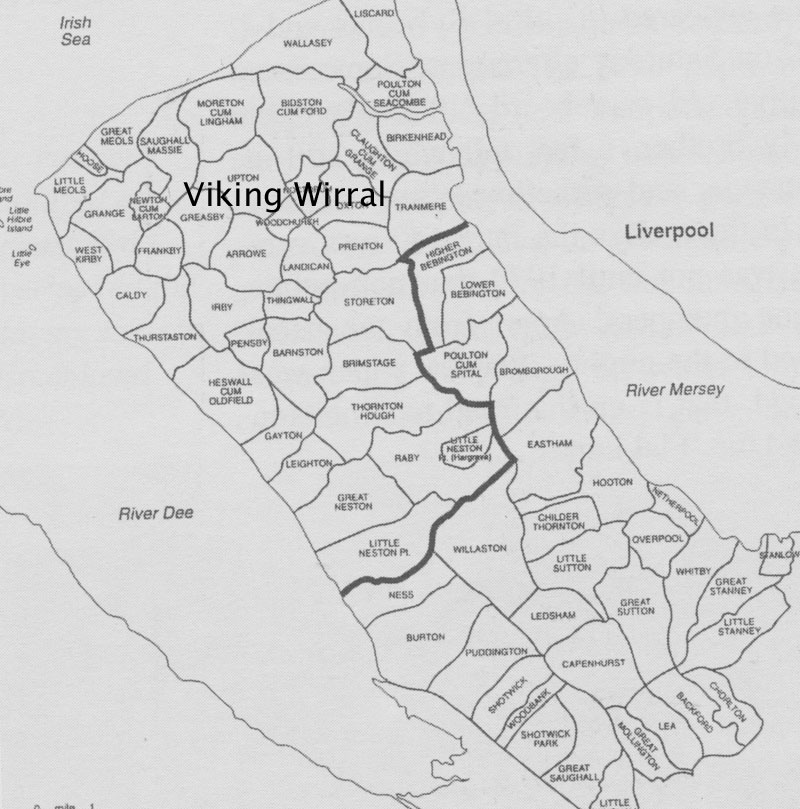
The border defines the Viking settlements and the Kingdom of Mercia. The individual areas mark later parishes
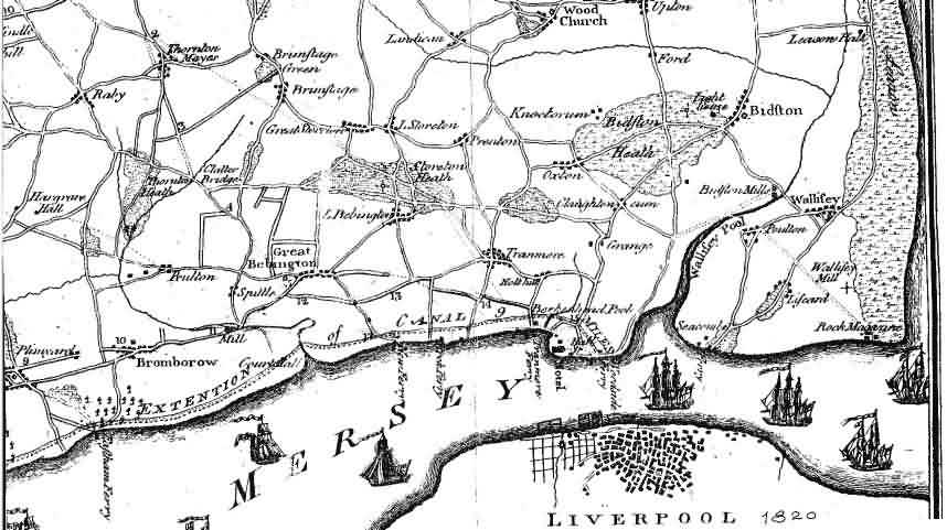
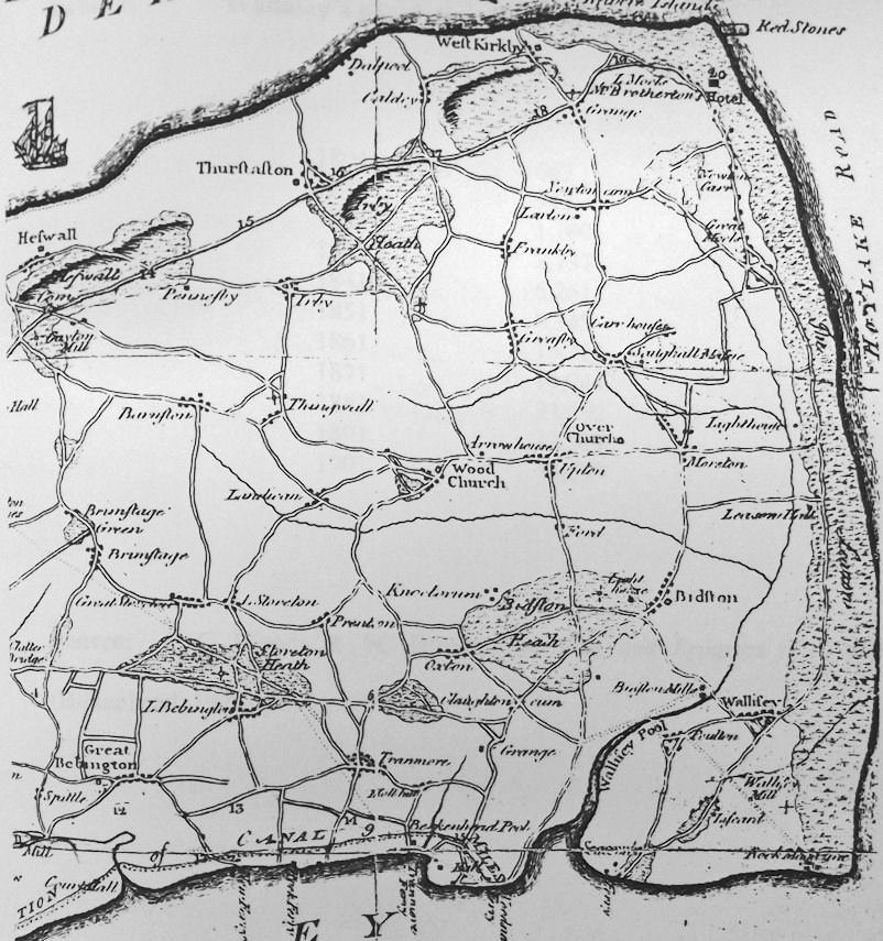
1820
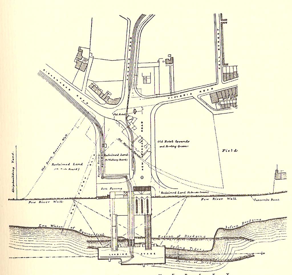
Seacombe Ferry
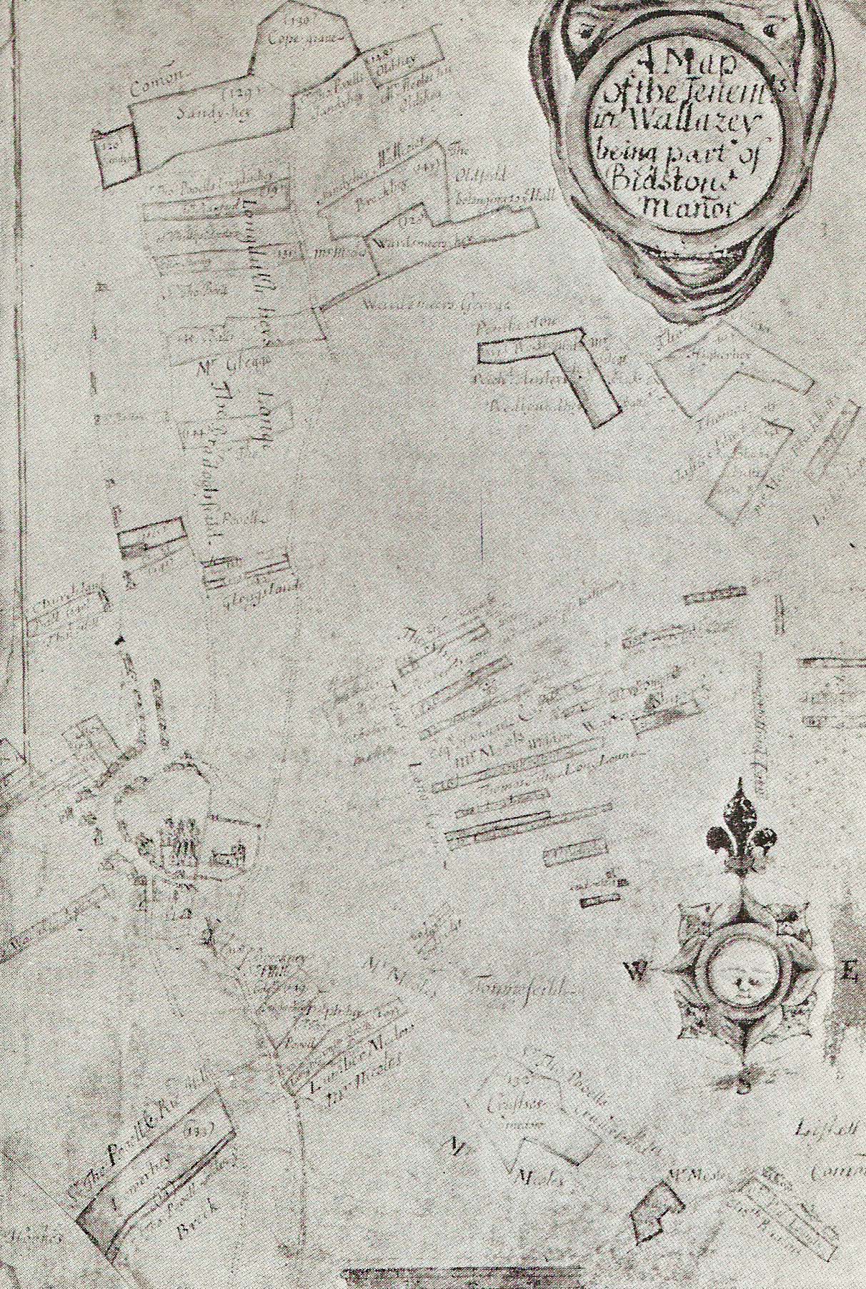
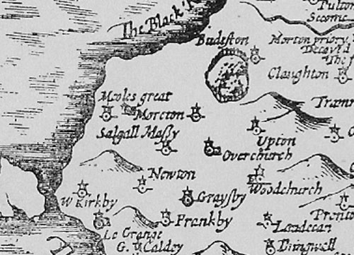
1665
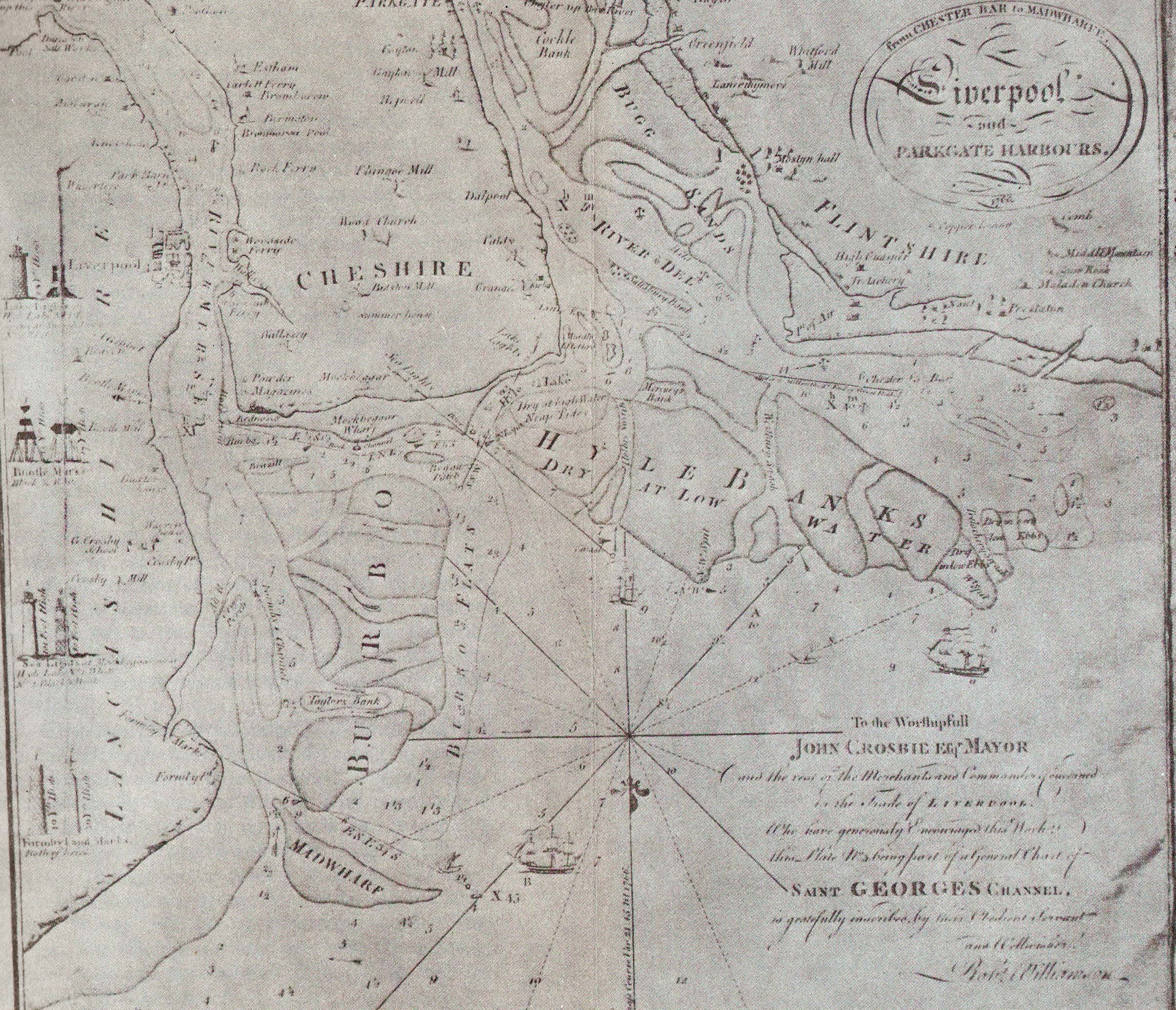
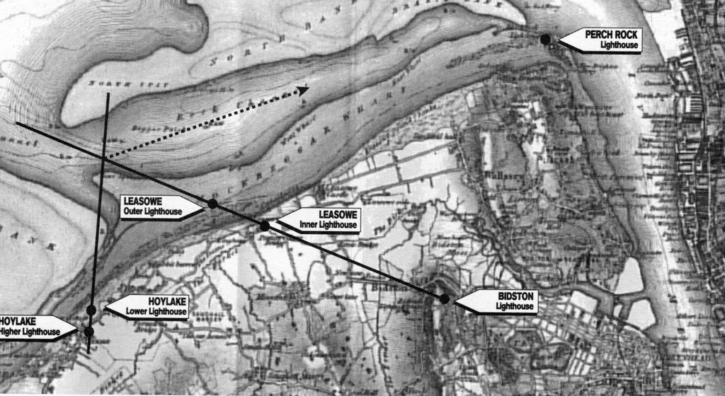
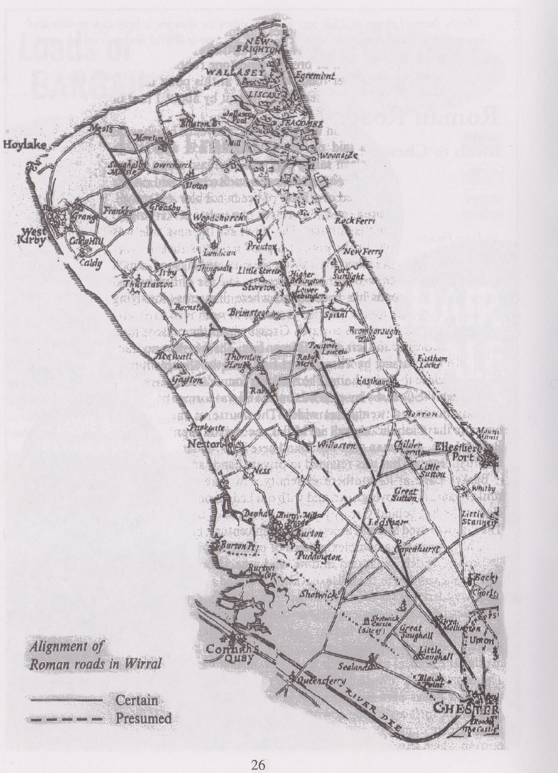
Wirral (top) and the Hyle Bank
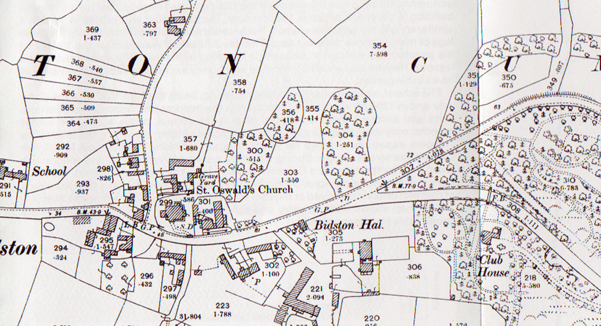
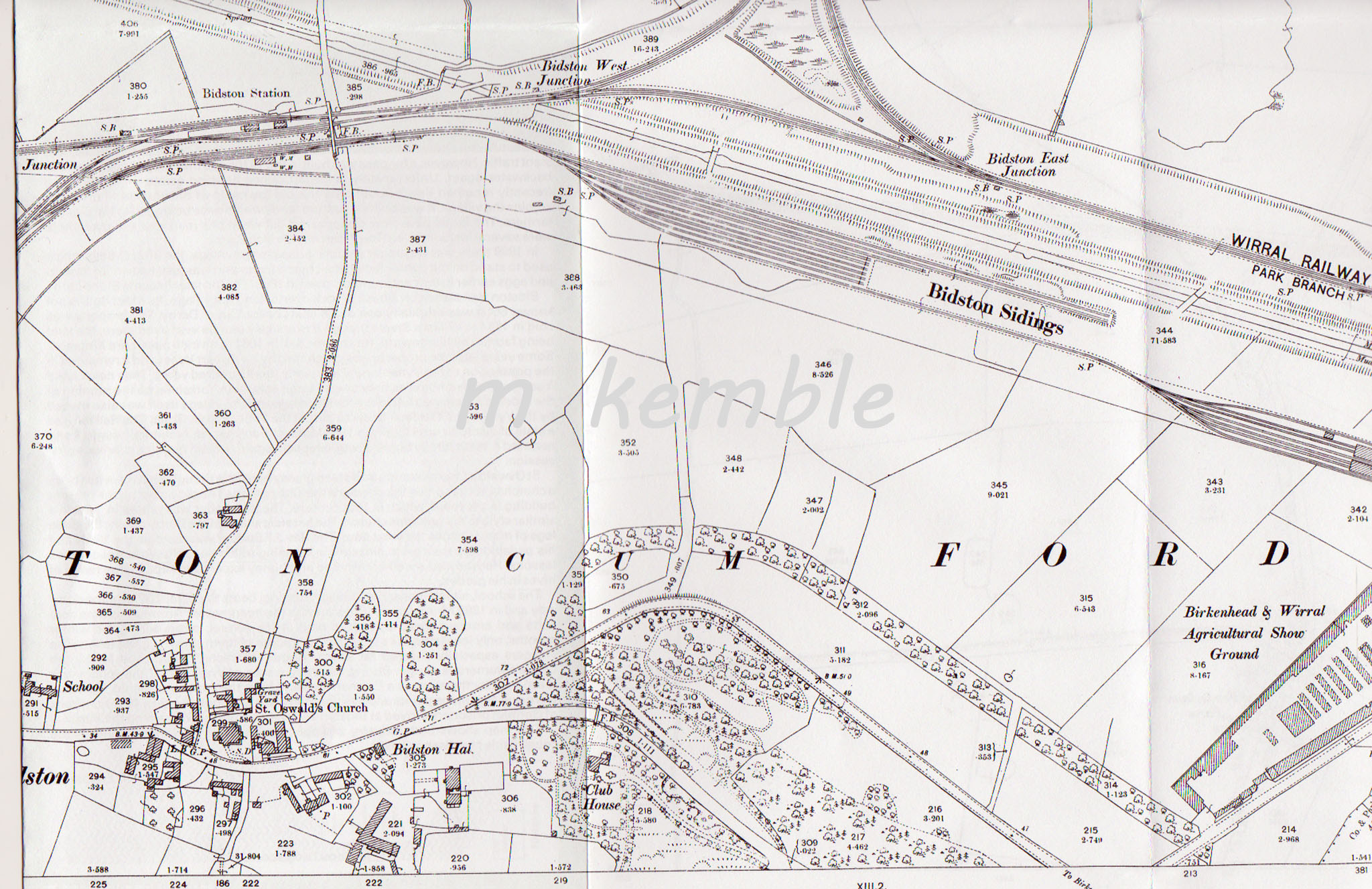
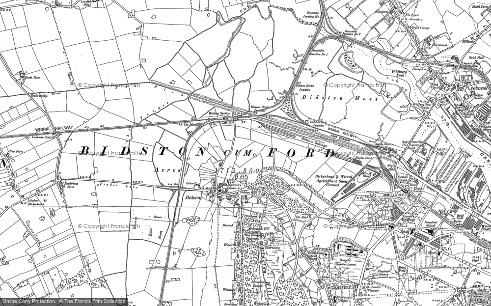
Bidston & Sidings 1898

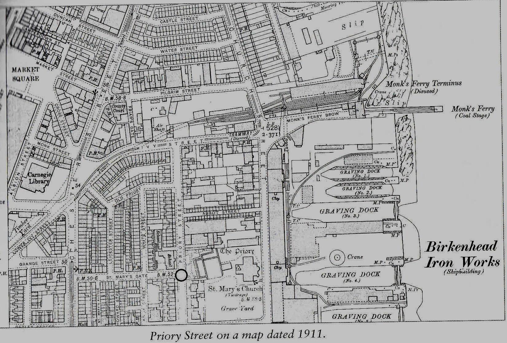
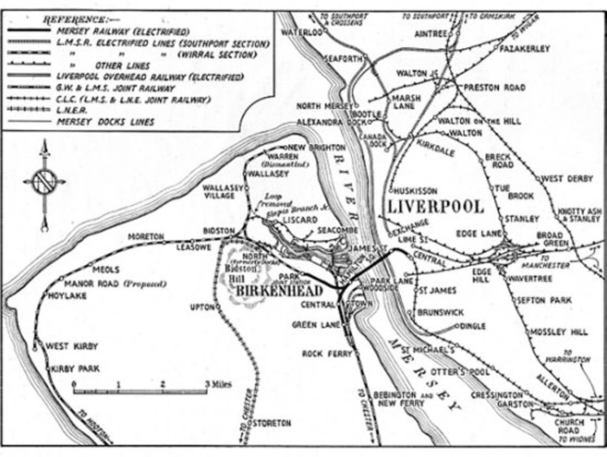
Rail Network Birkenhead East
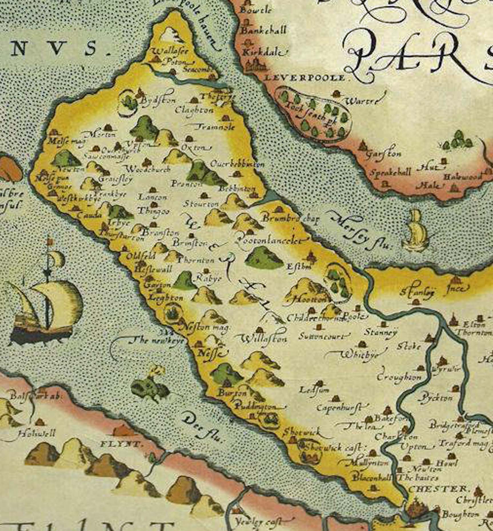
Across the river is Leverpoole (before that Laverpoole)