|
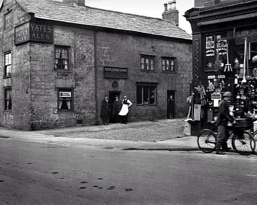
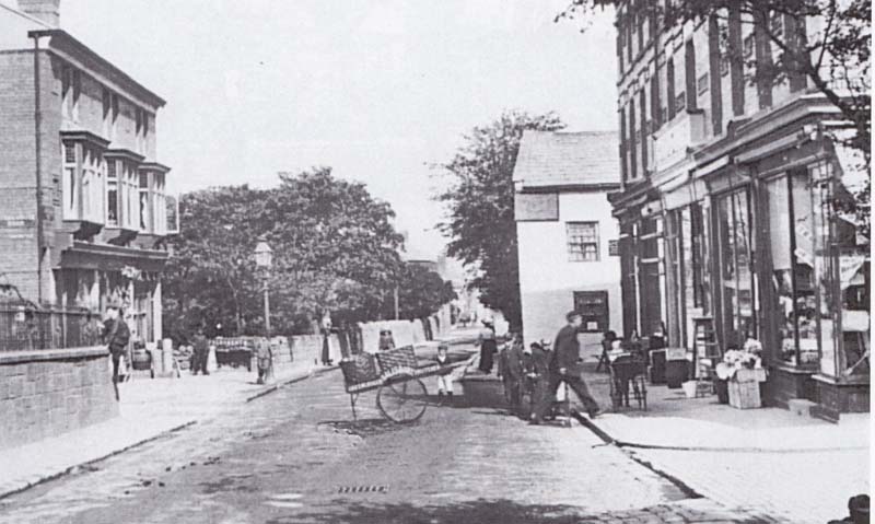
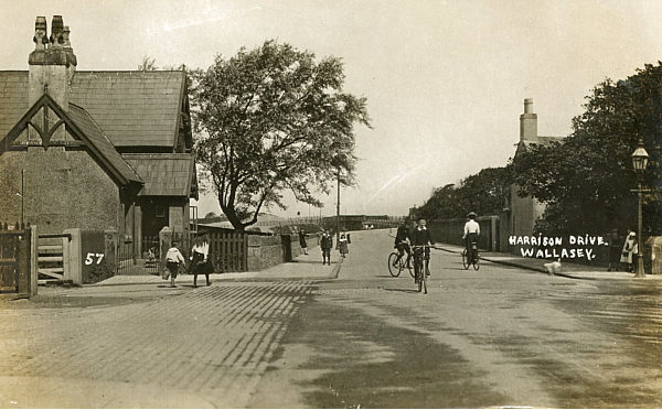
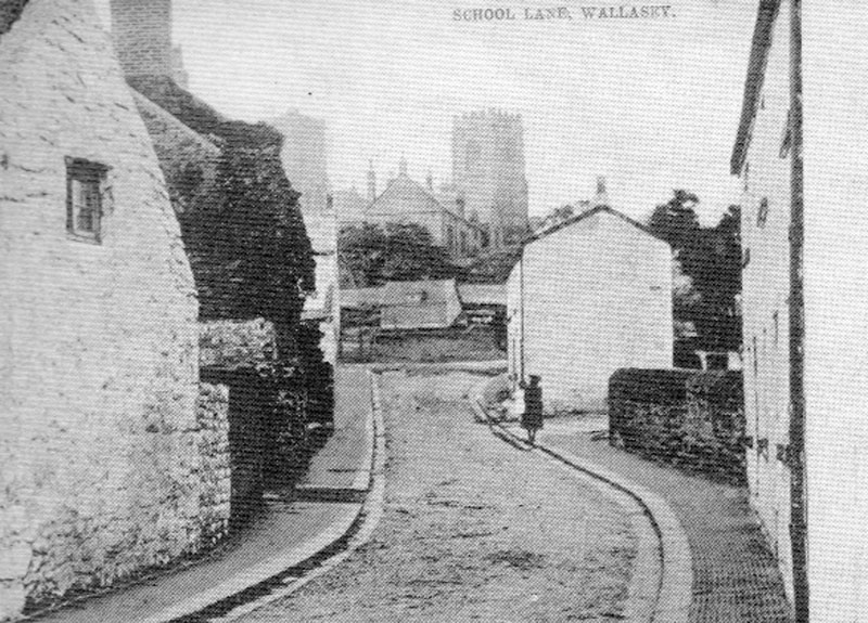
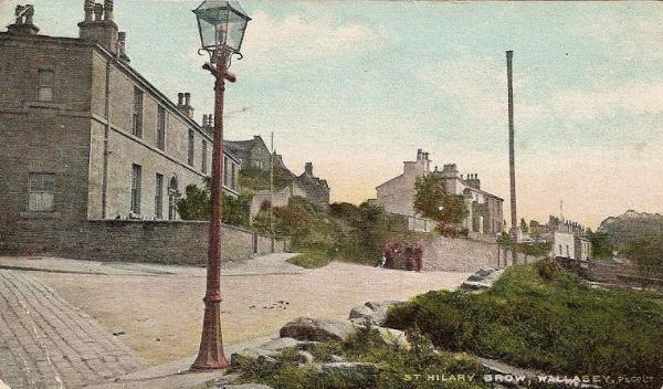
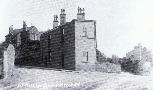
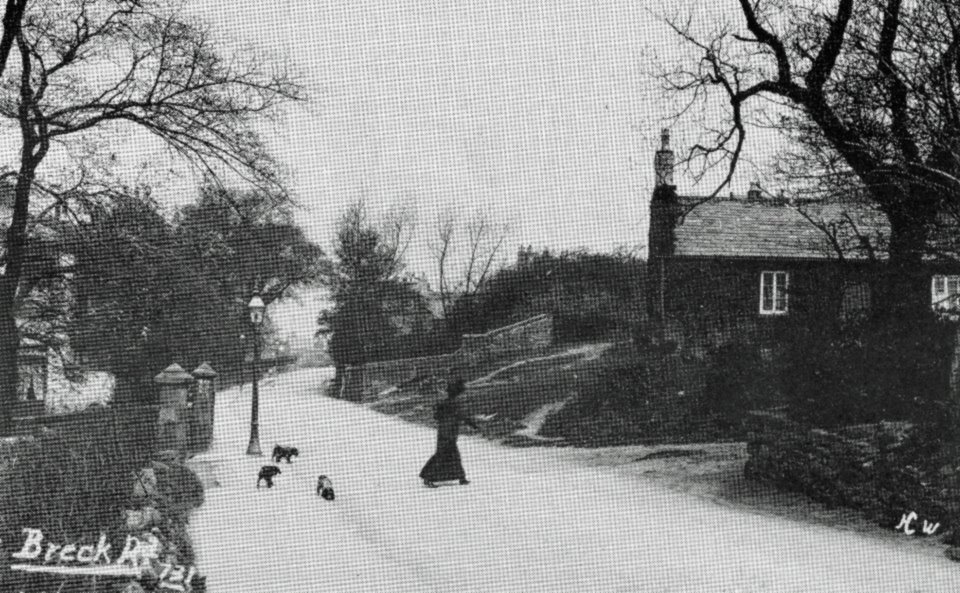
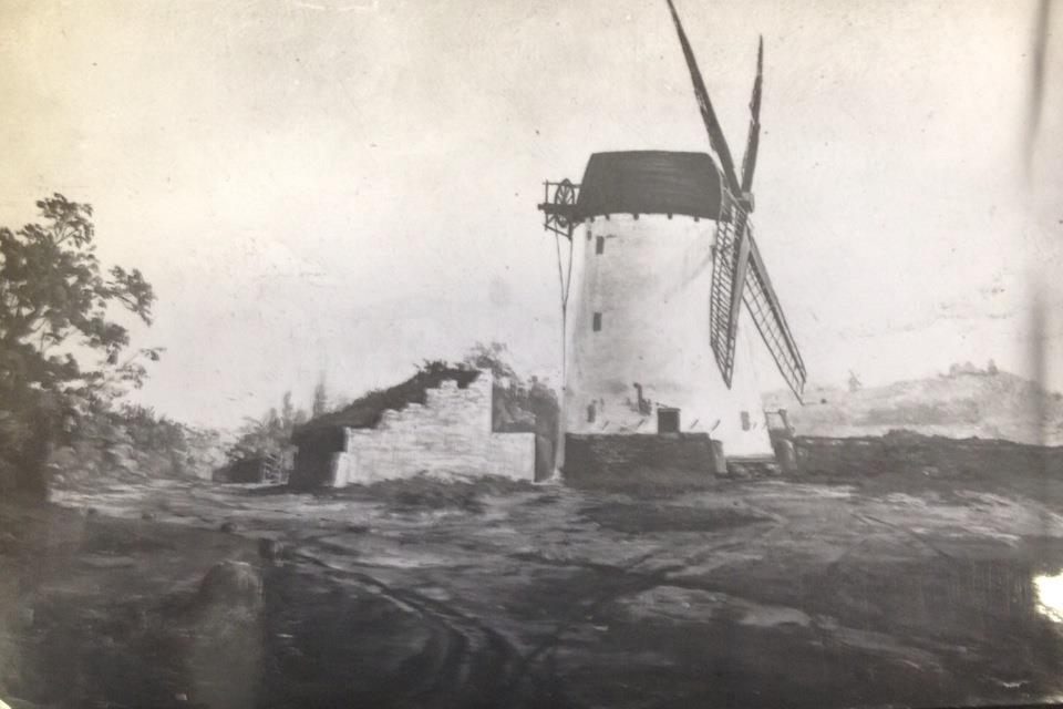
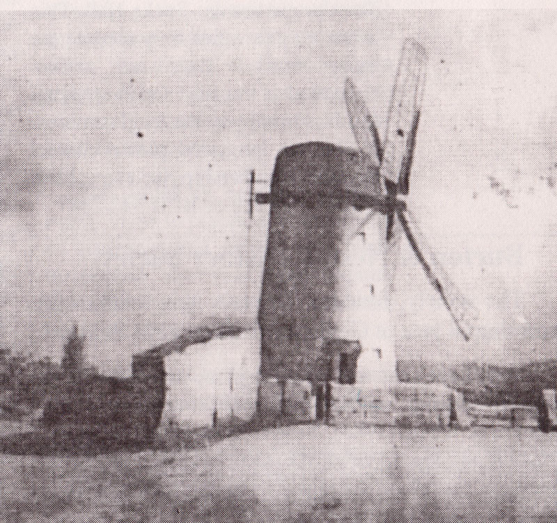
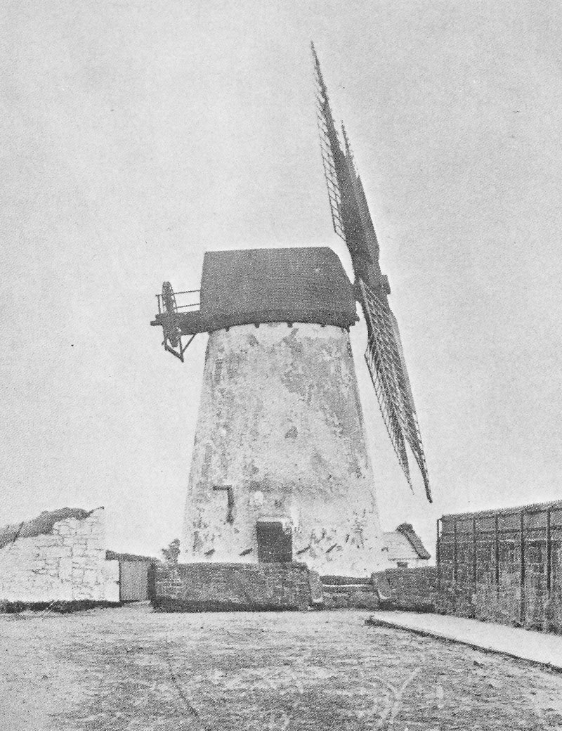
Wallasey Village & Harrison Drive Wallasey Village originally consisted of a single main village street, on each side of which was a picturesque line of snug cottage homes, farms and outbuildings, crofts and gardens, the whole combining to exhibit a rural atmosphere and rustic charm. The ancient Breck or ‘Brake’ Common (a word denoting the natural scrub, fern, etc.) once covered a very extensive area. The ridge starts near Poulton and continues northwards for over a mile towards the sandhills and the sea. It formed the backbone of ancient Wallasey but is now so covered and lined with houses and streets that its character as a physical feature has been almost obliterated. On the east side of the ridge the slope is gentle, but the west side rises more steeply out of what was once the flat ‘moss’ or marsh which almost made Wallasey into an island; hence the Saxon invaders called it Waelas-eig or, ‘Welshmen’s Island.’ Upon the Breck stood the Mill, and although this was demolished in I887 the old rough track which led up to it from St Hilary Brow is still in existence. St Hilary Brow was originally called Carren Hill after a family of that name. A Cross which stood at the junction of the Village, Church Hill, School Lane (originally called the Gutter) and Breck Road, is shown on the Vyner Survey Map of 1665. On 24th _]une, I901, Harrison Drive was opened, and called after the local family which gave Harrison Park to the town.
The names of two more roads in this district were derived from houses situated near their sites; namely Oarside Drive, off Kirkway (the house has been demolished), and The Laund, off Broadway Avenue. The house called The Laund, which was occupied by the Harrison family mentioned earlier in the chapter, was built on part of Wallasey Townfield. Townfields were divided into long, narrow strips sometimes known as ‘launds’~—hence the name ‘The Laund’. Kirkway is comparatively modern but takes its name from a legendary Saxon church supposedly situated near to the road. Near Kirkway was placed one of the Rogation stones (see Appendix In), a stopping- lace during the Rogation ceremony. Vyner Road was named after the Vyner family, big land- owners in Wallasey, Bidston and Moreton. Meddowcroft Road was named after Mr William Meddowcroft who was also a landowner in Wallasey. Taken from The Rise & Progress of Wallasey 1929. Leasowe Road
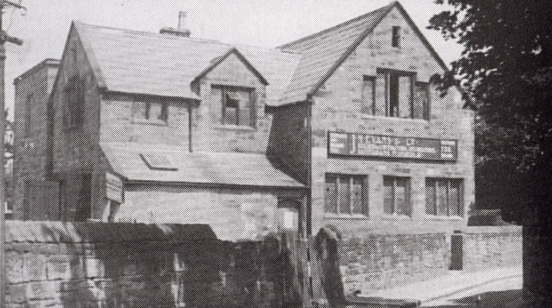
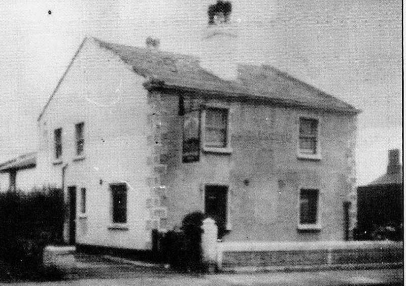
Village School. After it was a school it was leased to JM Evans in 1910, then became a smithy
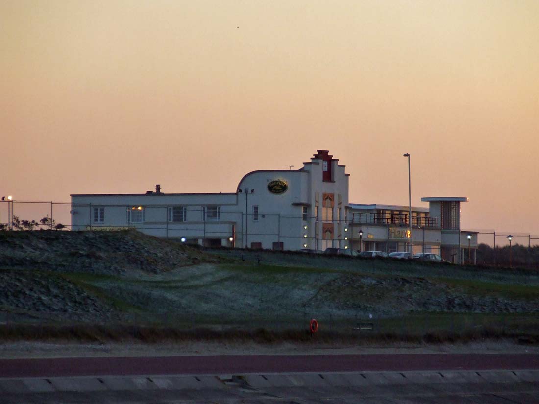
The World's First Solar Powered Building On Leasowe Road is the first building in the world to be heated entirely by solar energy. St Georges School was built in 1961 to the designs of Emslie Morgan, a genius, who spent a lifetime looking into ways of harnessing the suns rays. His research resulted in the Solar School, a matchbox like building with, on one side a drab, windowless facade and on the other I0,000 square feet of glass, a giant solar wall. The wall is built of glass leaves two feet apart. These draw the ultra violet rays from sunshine and bounce them around the walls of the classrooms. The walls become warm and heat the air. Hardly any warmth escapes through the schools massively thick roof and walls covered with slabs of plastic foam. On the coldest days it is always 60 degrees Fahrenheit inside, and in summer the school is cooler than its more conventional neighbours, for panels inside the glass wall can be turned to deflect heat or absorb it. It need hardly be said that, despite the uniqueness of the building at the time of its erection, it was left to foreign designers to take up the invention and use it on a world wide scale. From the book Portrait of Wirral by Kenneth Burnley 1981. Village
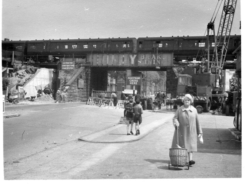
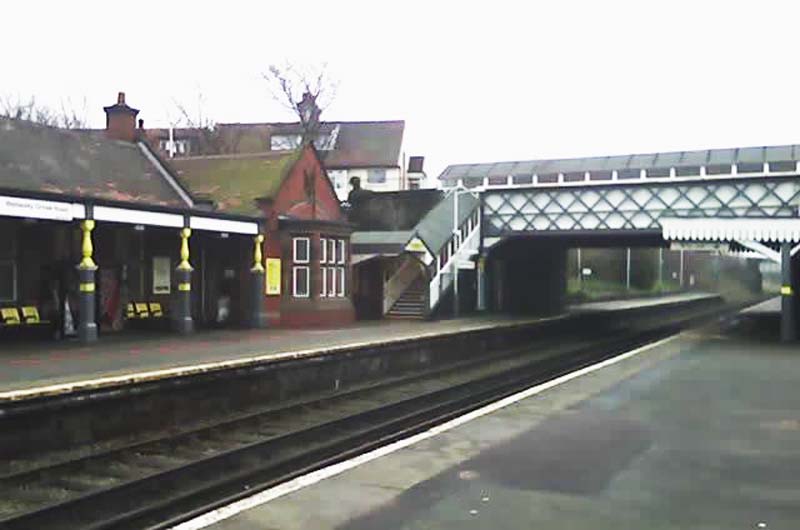
Replacing the railway bridge during road widening at Wallasey Village Station early 60s (Image John)
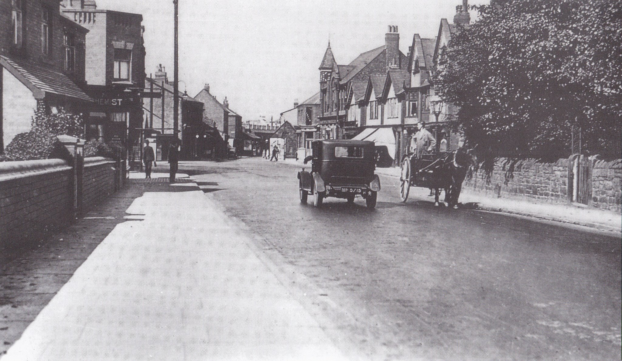
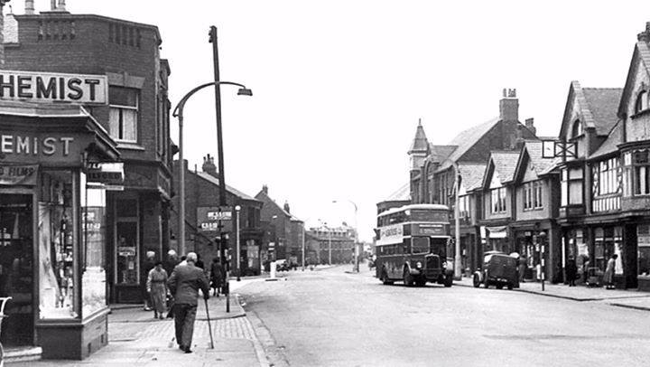
Harrison Drive/Grove Road Area
https://en.wikipedia.org/wiki/Excelsior_Motor_Company
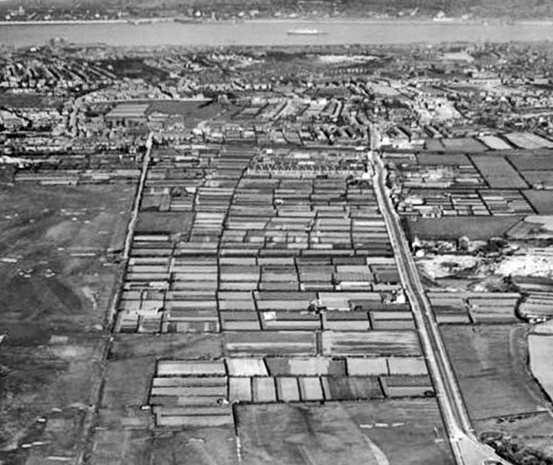
The Moss
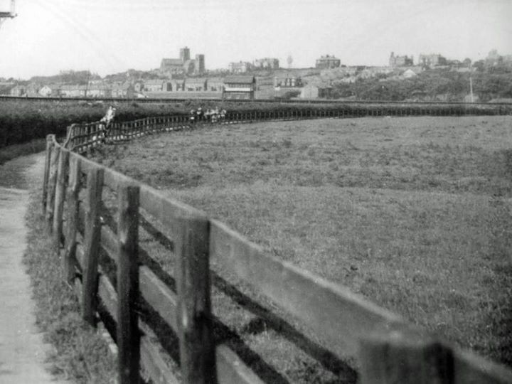
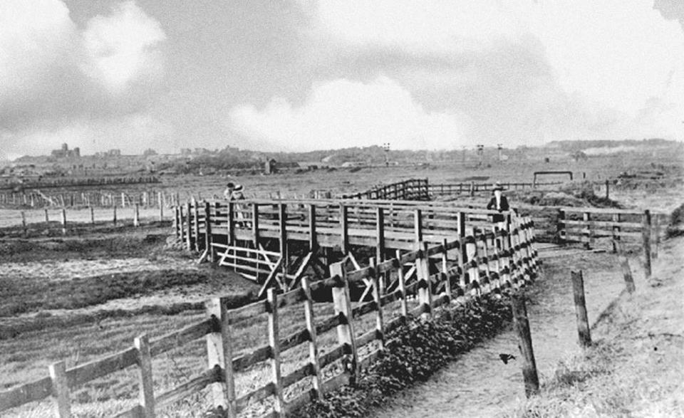
This led from Wallasey Village to the Ring 'o Bells in Station Road Bidston, a smugglers route. There is a story about a customs man who, having been tipped off that there was to be a 'brandy run' across Bidston Moss, lay in wait for the smugglers. But they had found out about the tip off and substituted the brandy barrels for ordinary ale. They were stopped and obviously nothing was found! In the midst of the Moss was a bridge formed from whale bones, but eventually they sank into the marsh and vanished. All this area is now built on and industry, supermarkets and motorway now dominate. The railway line in the above image is the stem line from Seacombe Ferry to Bidston. The signal box is at the junction leading to Wallasey Village station.
The Breck
The following information was provided by Andrew Barr in a Wallasey section on Facebook 1st August 2012. Margaret Boode was the daughter of Reverend Thomas Danneth the rector of Liverpool. She was the widow of a West Indian plantation owner, and took up residence in Mockbeggar Hall now known as Leasowe Castle in the year of 1802. Margaret Boode had a good reputation as a helper of shipwrecked sailors, many of whom were lured onto the dangerous rocks in the area by wreckers. In addition she was well known for other charity works and promoting Christianity within the community. Their large house provided an ideal place to aid such unfortunates, both in size and situation. On the 21st April 1826, Margaret Boode was carrying out her daily duties and travelling along Breck Road in a horse & carriage. For reasons unknown, the horse shied and Margaret Boode was thrown from her carriage and killed instantly aged 52 years. As a mark of respect a large Gothic style obelisk made from lime stone was erected some 25 years after in 1827. At the bottom of the monument an inscription read:
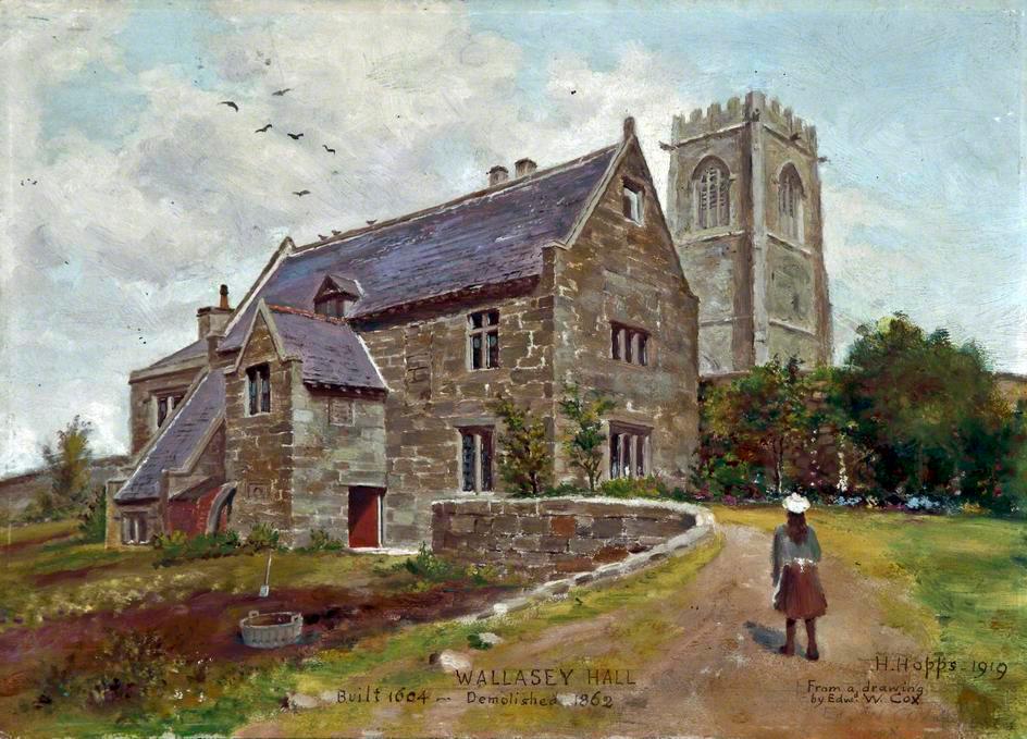
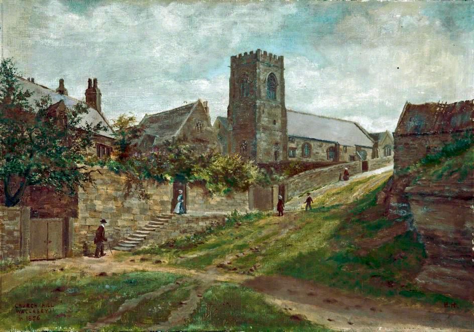
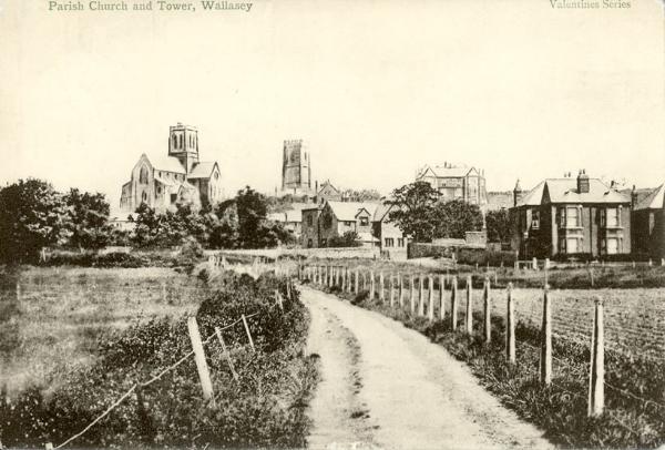
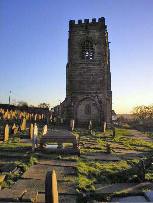
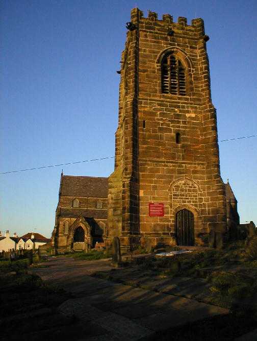
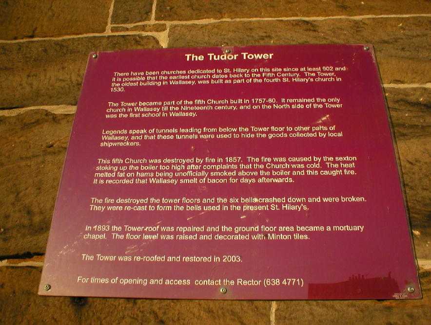
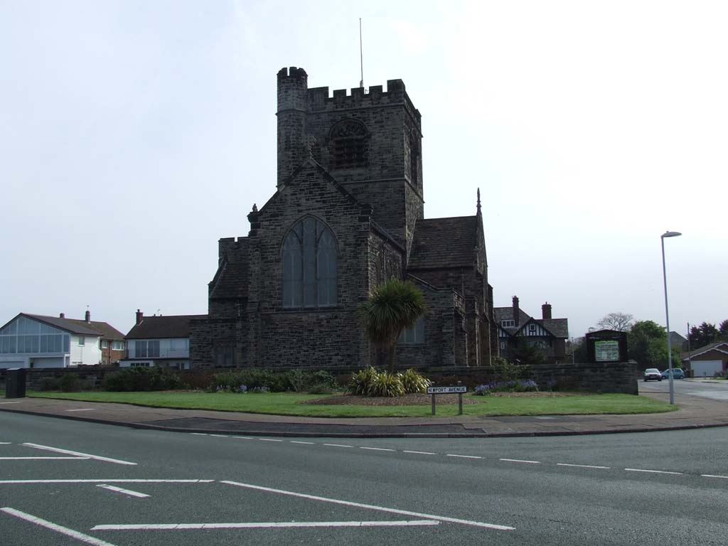
Three images of St Hilary's old tower the central image clearly shows the wording on the notice in image 3 St Hilary's has its own page HERE Wallasey Mill
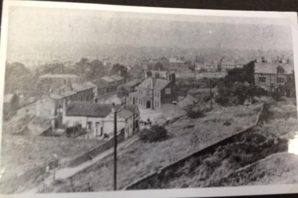
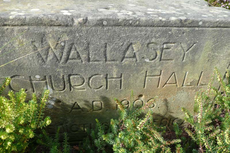
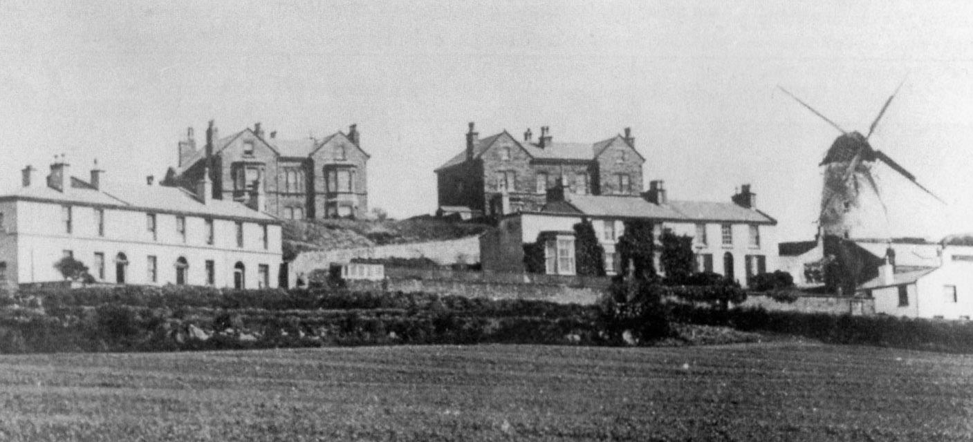
The Breck and Wallasey Mill (& below)
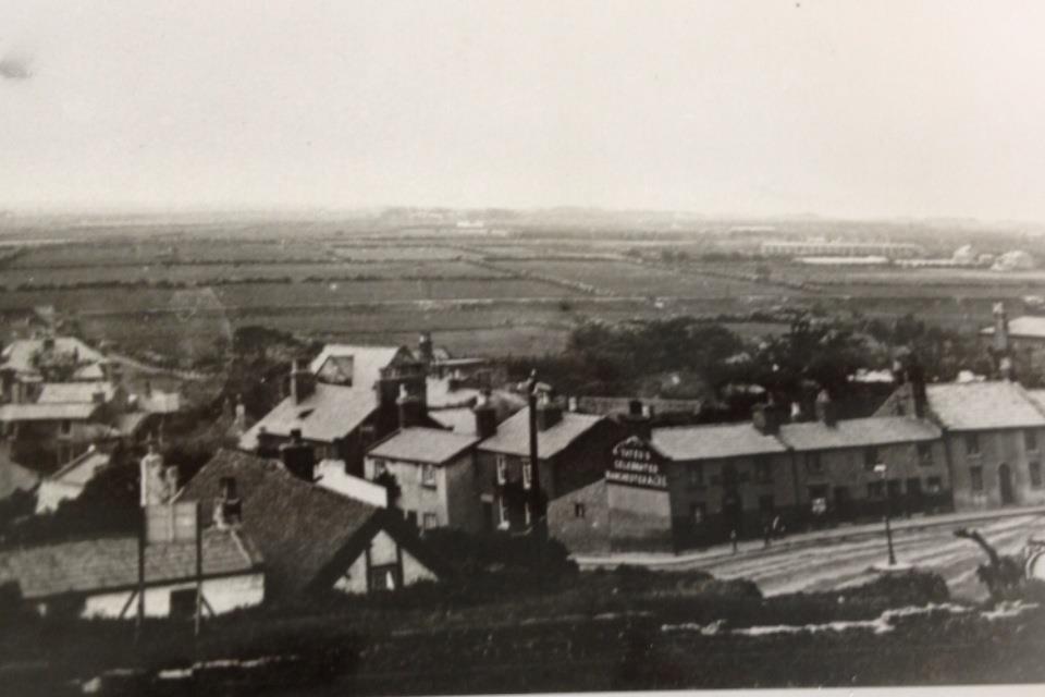
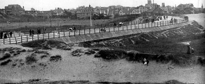
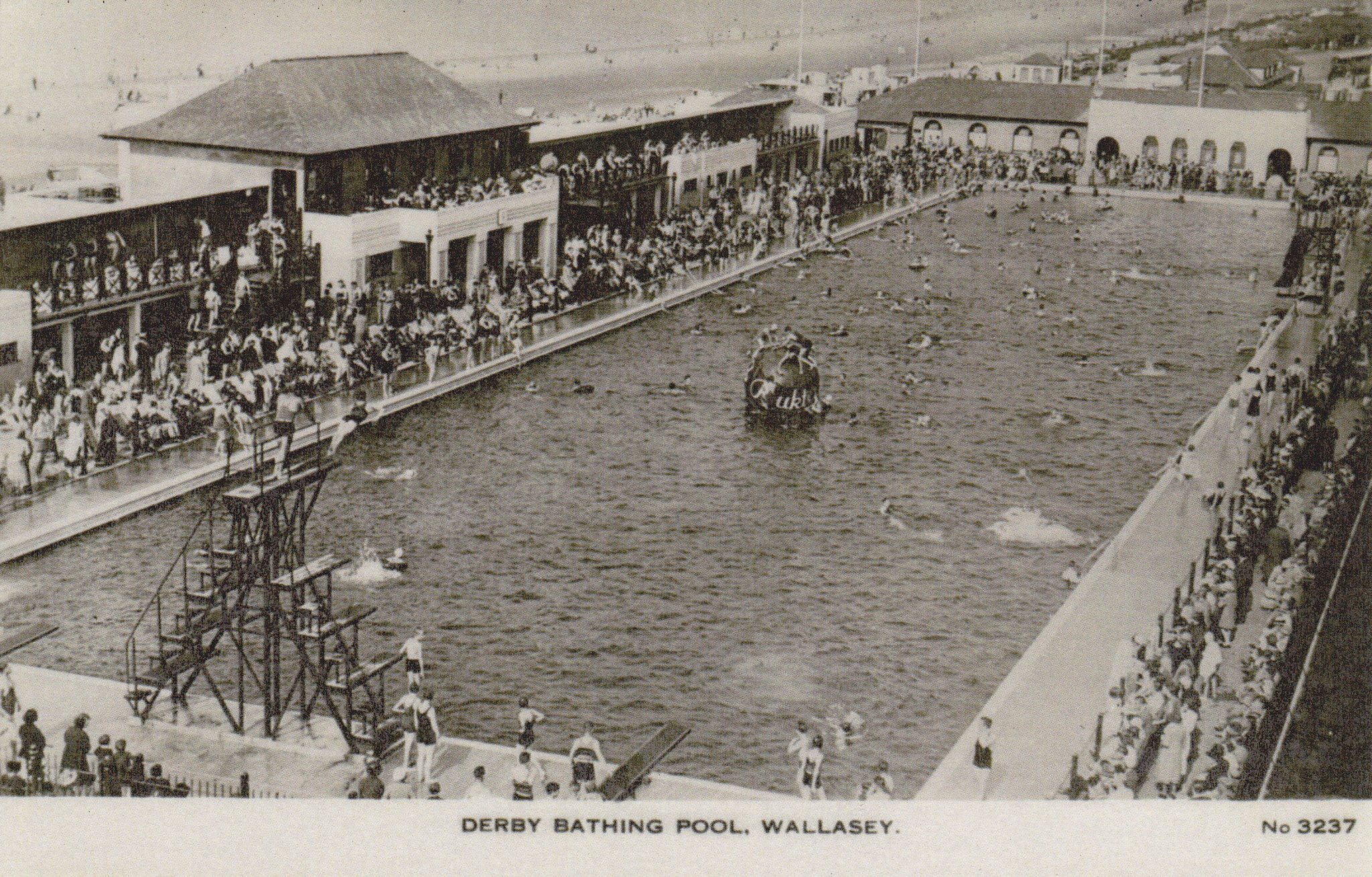
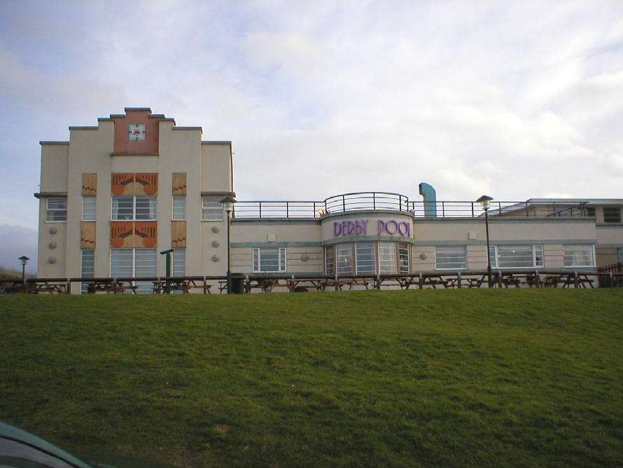
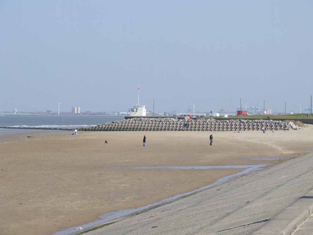
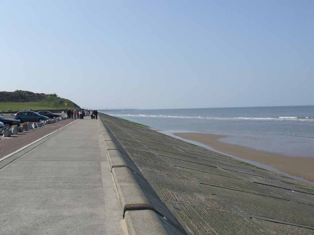
Wallasey Village Coastal Area
Wallasey Videos: http://www.youtube.com/watch?v=gH59hHwDxZc&feature=youtu.be http://www.youtube.com/watch?v=nmw8yIlVsUU&feature=related http://www.youtube.com/watch?v=zciRmnvQAVA&feature=related http://www.youtube.com/watch?v=FBjpUkH1Uuw&feature=related http://www.disused-stations.org.uk/s/seacombe/index.shtml
|