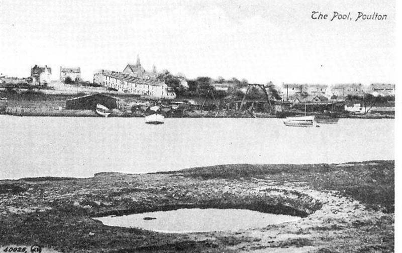
Poulton: Town or Farm by a pool.
From pol tun. Seacombe: Valley by the sea.
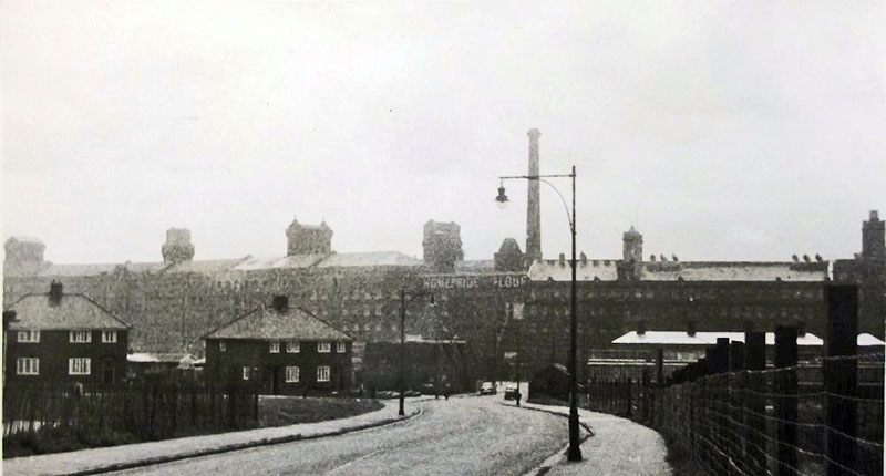
Seacombe in
1850, was a country village consisting of one main street (Victoria Road),
two cross streets and a few scattered houses. By the 1890s all was
changing and the character was lost forever as industry began to unfold
along towards the Wallasey Pool. later the docks.
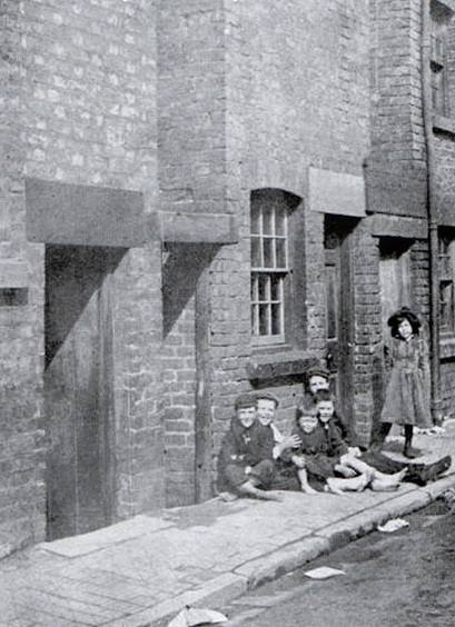
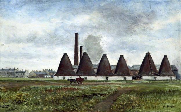
Seacombe was better known in the
past for its Potteries than its ferry. Poulton was a stinky smelly disease
riddled area of habitation alongside Wallasey Pool, a tidal inlet. Much of
the waste from this region went directly into the Wallasey Pool but what
goes out with the tide, comes back! It took an act of Parliament to get it
cleaned up, sewers laid and running water installed in the homes, those
that were fit enough that is! Wallasey Pool was eventually to become
the dockland, Bidston Moss, a wetland run off the Pool, became dry.
top left: I can remember this; think there was a
playground there too. Bottom left: Egremont Ferry in distance.
Birds House Poulton
Notice is hereby given, that application is intended to
be made to Parliament in the ensuing session, for leave to bring in a Bill
for dividing, allotting, inclosing, and draining the commons and waste
lands in the several townships of Wallasey and Poolton cum Seacome, in the
county of Chester, and for allotting, dividing, and draining a certain
common pasture called Wallasey Pasture, in Wallasey aforesaid, and for
making a road over Bidston Marsh, in the said County, from the said
townships of Wallasey and Poolton, to communicate with the townships of
Bidston and Moreton and also for allotting, dividing, inclosing, and
draining a piece of land called the Carr, otherwise Newton Carr, in the
parish of West Khby, in the said county.
a caption to this states that the tower in the back ground is the old
seacombe ferry tower; but its on the building next door?
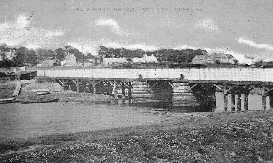
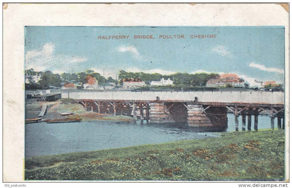
Penny Bridge, Poulton - leading to Birkenhead
Half Penny bridge began in 1843,
so called because of the half penny toll to cross it. It was situated in
Wallasey Pool on the road between Bidston and Poulton. Made of wood and it
opened in the middle to allow ships to pass through. On 1st September 1896 the
fare was increased to one penny, the bridge is still known as penny bridge to
this day. In 1926 it was replaced by a modern swing bridge by the Mersey Docks &
Harbour Board.
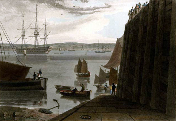
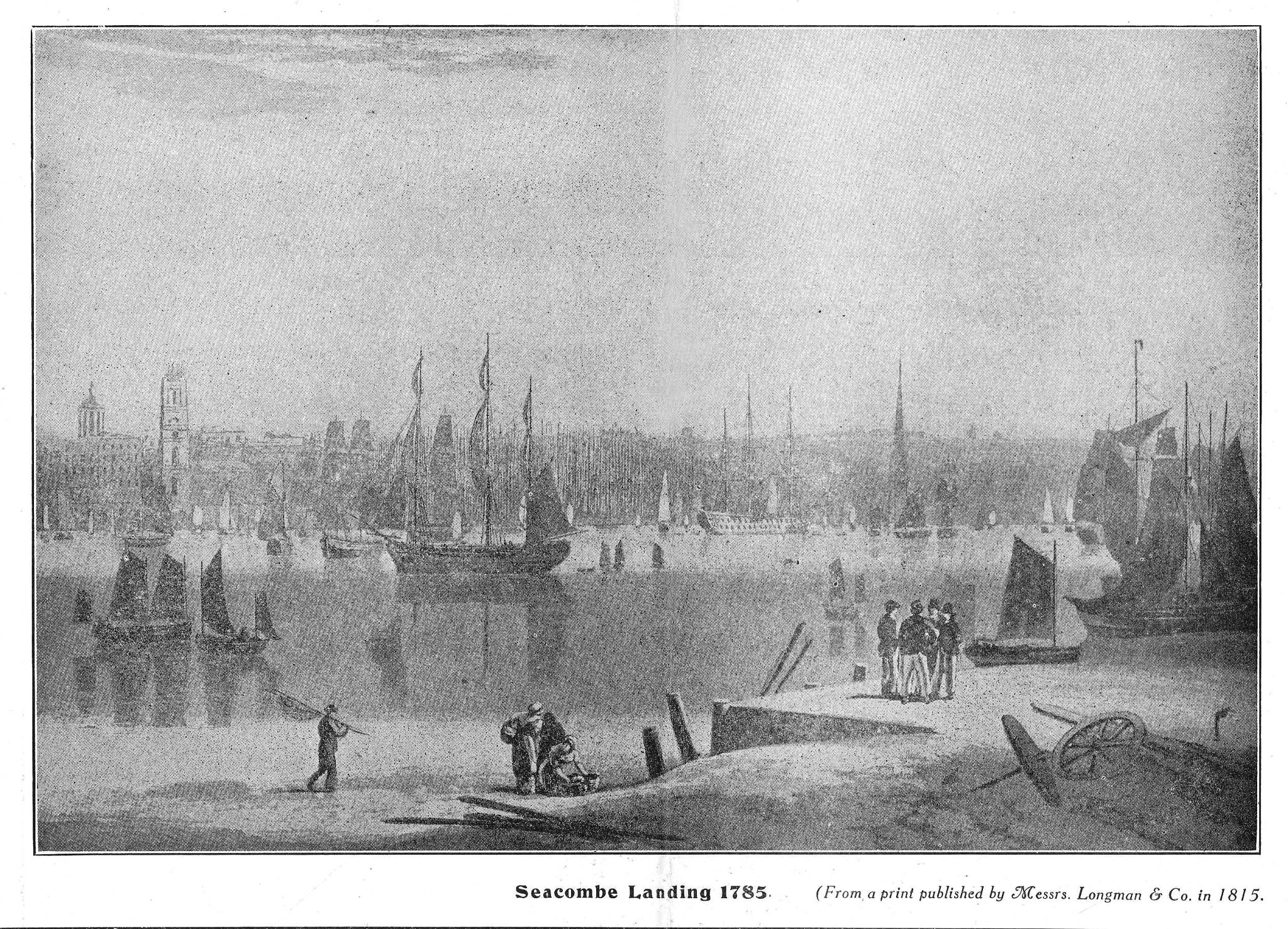
I know this is a painting and open to artistic
licence, but look at the volume of shipping!!
1860
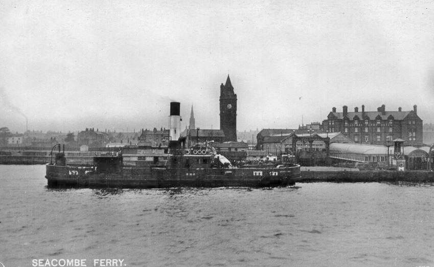
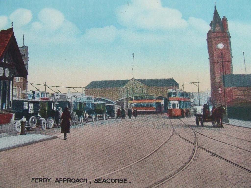
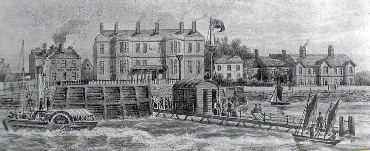
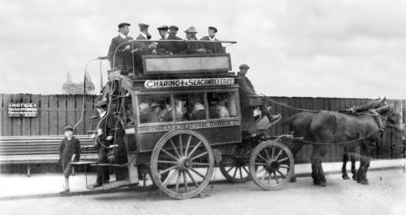
Seacombe Ferry 1870
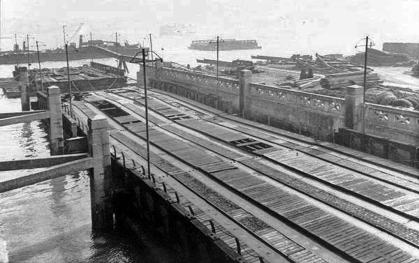
Seacombe Ferry Floating Roadway, used to take
luggage etc to the Luggage Ferry boats. This look like a construction
phase, note section in river.
Seacombe Potteries
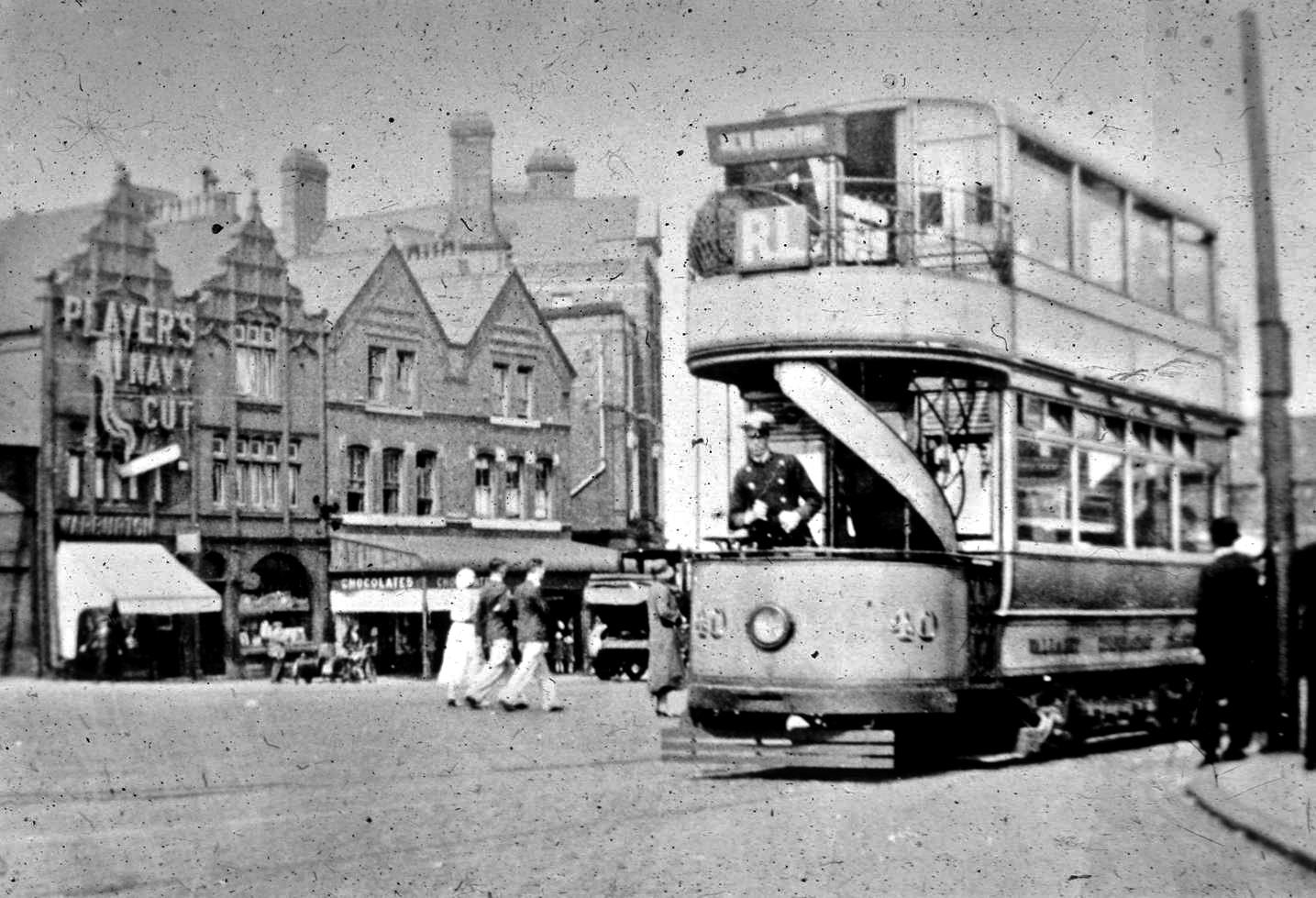
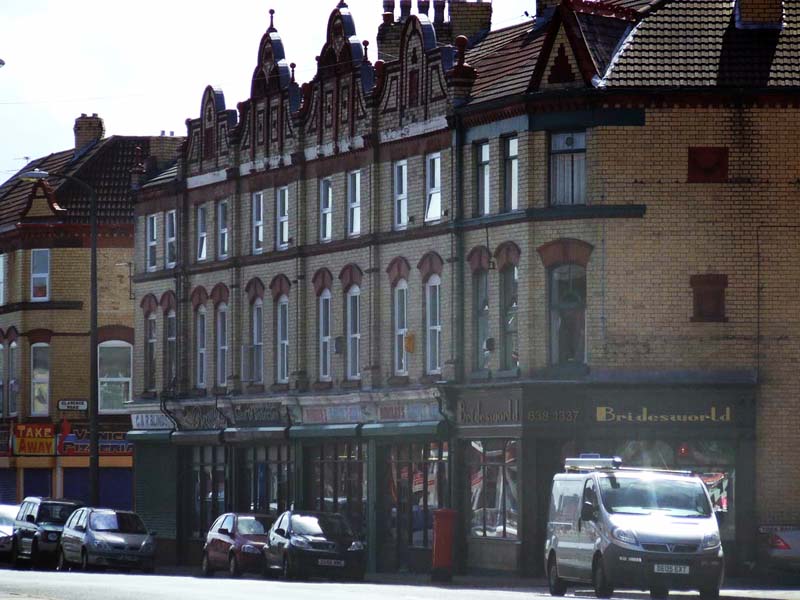
Formerly Victoria Road renamed Borough Road
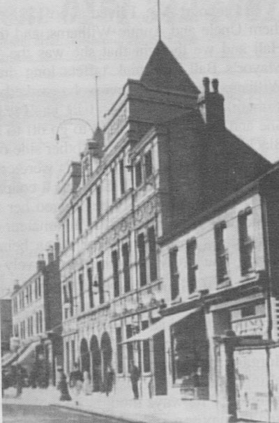
Hippodrome
Borough Road
Firstly it was the Irvine Theatre, then it became The Kings, then The
Scala and then Hippodrome. It reopened its doors in 1936 as the
Embassy. Shops recalled in Borough road included:
Maypole Grocers, O'Briens butchers, A green grocers that always seemed to
have a queue, which had a picture of bananas on a green wooden shutter.
Pub - Five Barred Gate, a Bank, Chandlers Shop between Waverley and
Hatherley Streets, a music shop on the corner of Waverely St, Bon Bon
Sweet Shop, and of course the main building in Borough Rd, the Embassy
Cinema. Where remembered films starred Abbot & Costello, Betty Grable,
Rita Heyworth. Pawnbrokers on corner of Florence Road. Opposite another
Chippy and futher up was the Library. On the way up towards Lloyds Corner
was a baby clothes shop.
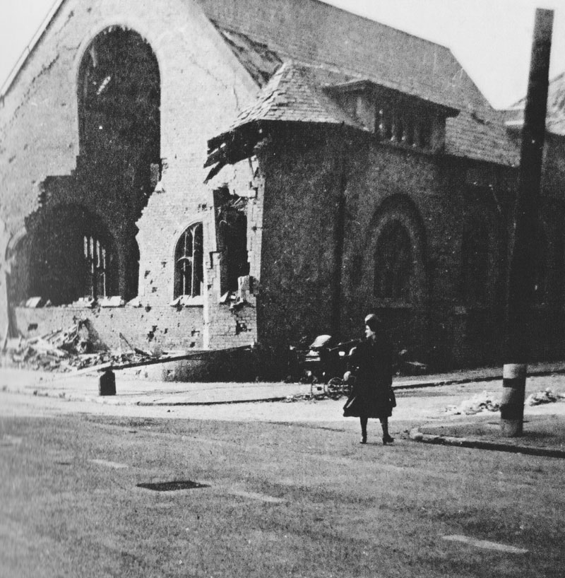
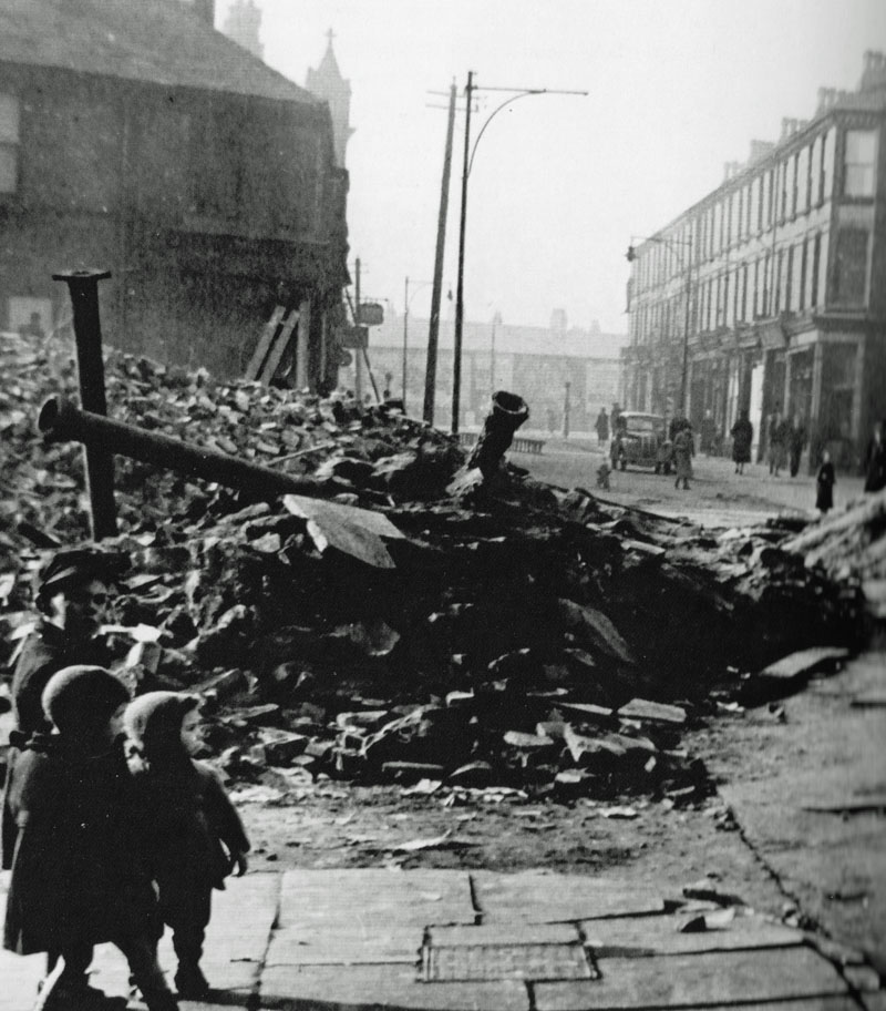
Borough Road WW2 Bomb Damage
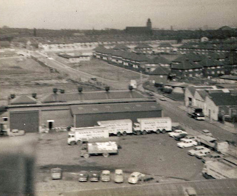
Taken by
me, Oakdale Avenue from Spillers Mills
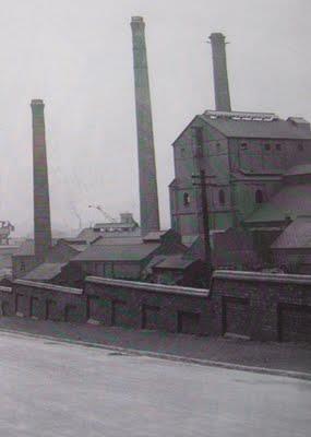
This is Old Gorsey Lane. Does anybody
know its name or what it produced? From Bob Taylor in Canada:
It is in fact the buildings of the gasworks which prior to the A59 were
between the junction with Norwood Road and the Dock Road. The gasometers
would have been closer to Norwood Road, probably around where the A59 runs
now. used to push my brothers pram with a couple of bags of coke on from
there to Guildford Street in Egremont. Bob, in your debt mate. Thanks.
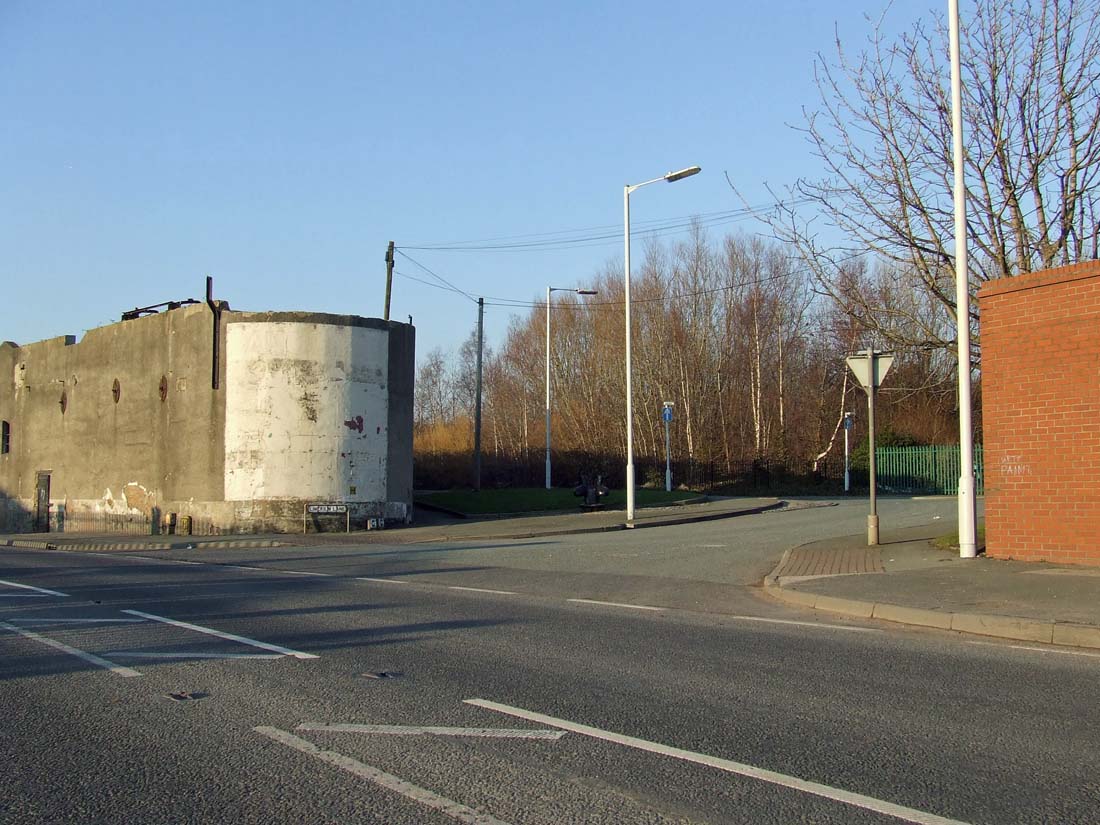
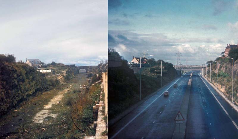
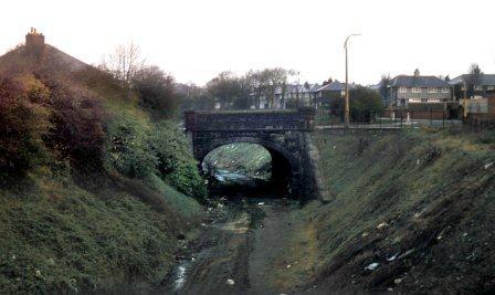
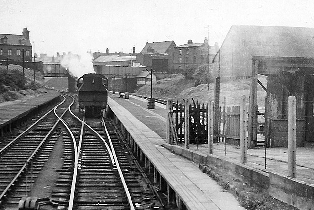
Tunnel Approach as was after rail had gone and as 'is'!
Borough Road 6th June 2012
Approx 1934
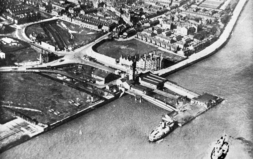
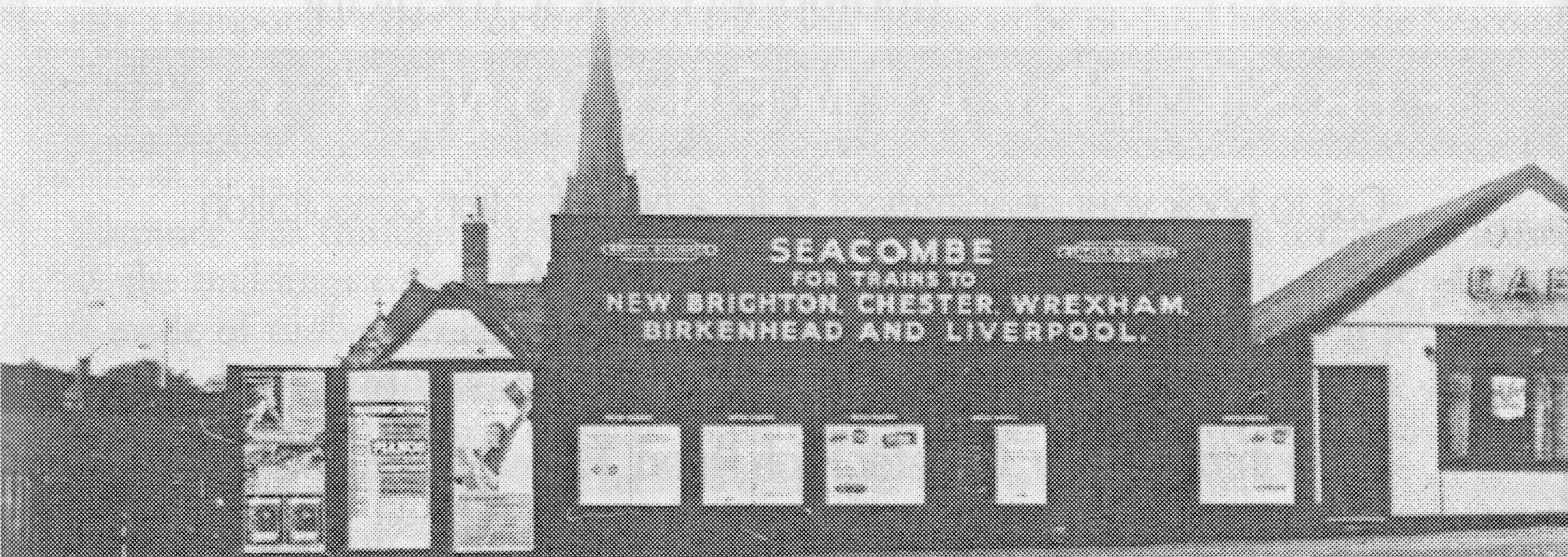
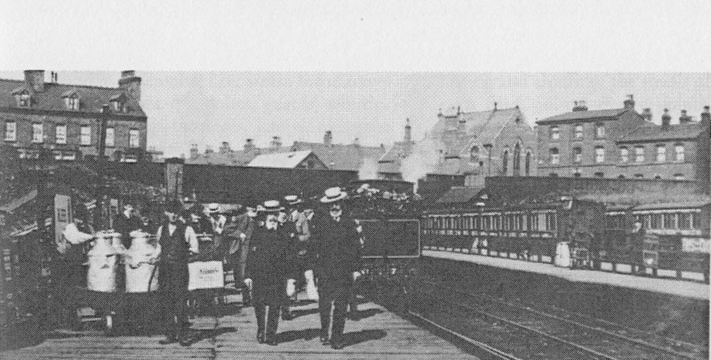
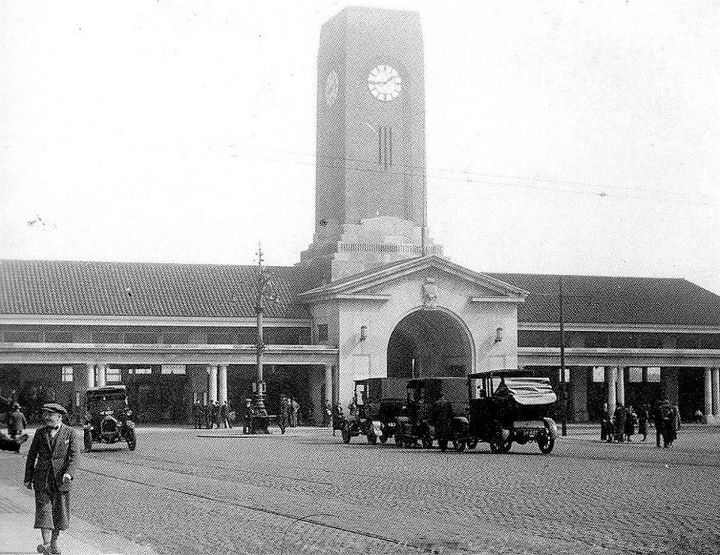
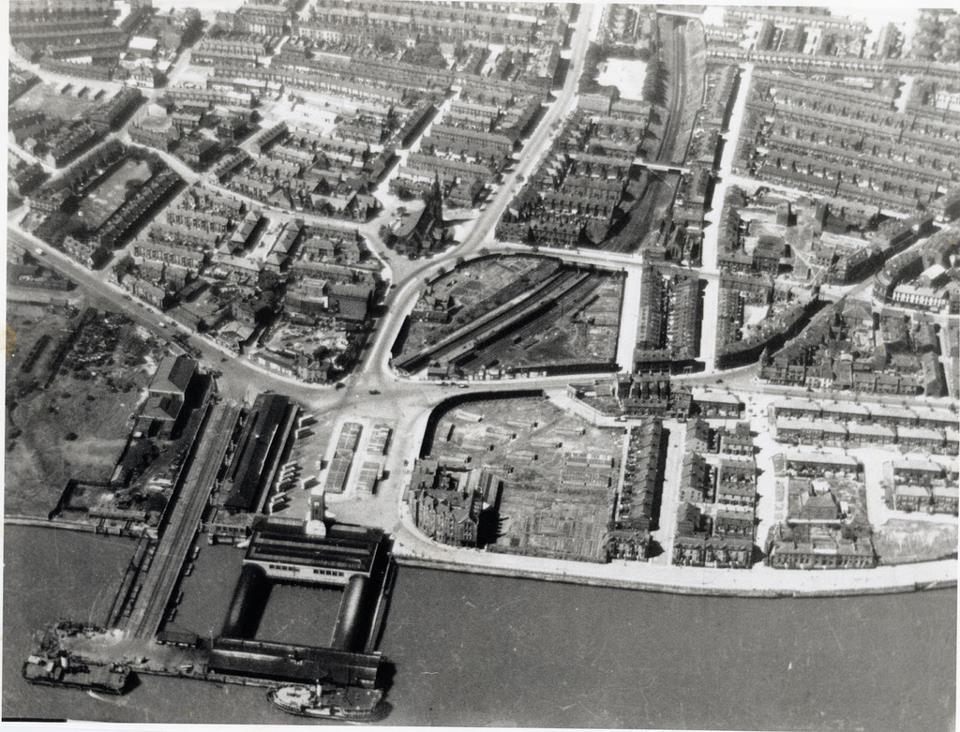
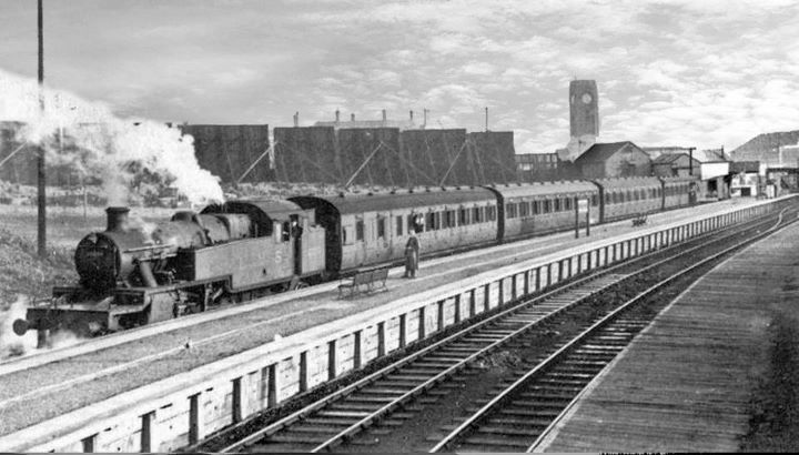
Seacombe - late 40s. Ferry Terminal, bus station
and railway station all in view
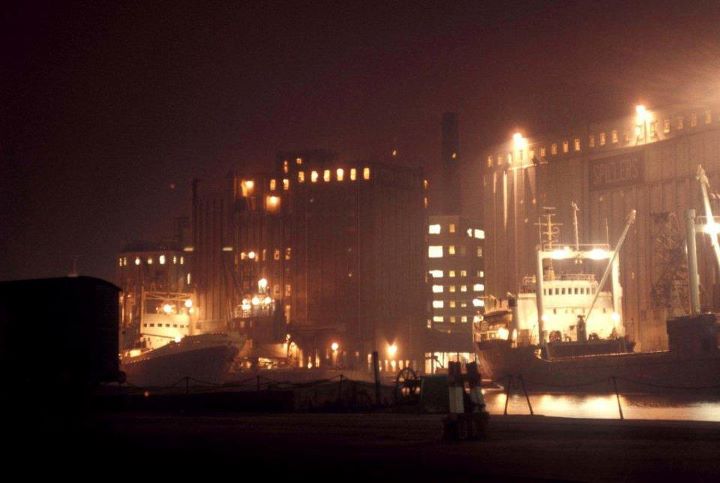
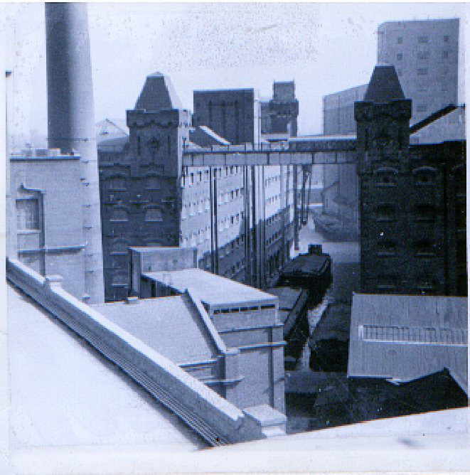
Vittoria Dock
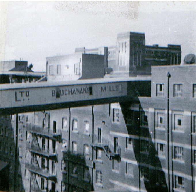
Buchanan's Mill shortly before it was destroyed
by fire. Image: 1969/70. Taken From Spillers
East View from Pauls Mill towards '4 Bridges'
1969/1970
1954 Oakdale Avenue & Spillers
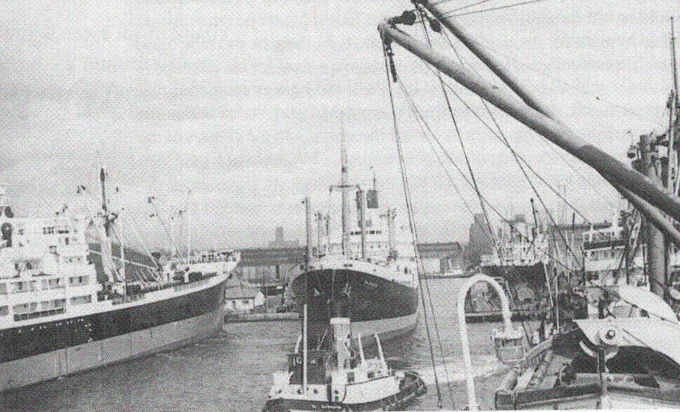
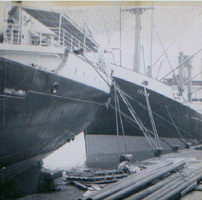
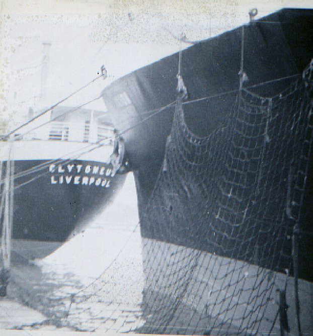
Blue Funnel Lines Clytoneus & Ixion at West Float Wallasey approx 1970
Demesne Street - Tram liners being fitted
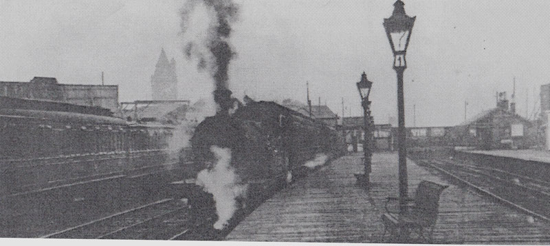
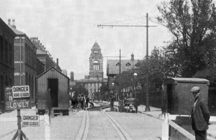
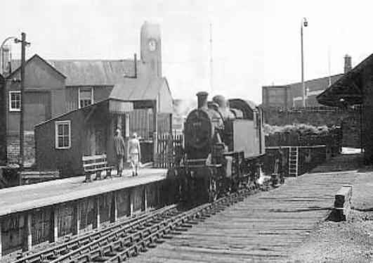
Poulton
railway bridge after
the railway had gone but obviously before it was turned into the new Tunnel
Approach oh how many times did I chuff under that one!
1940. The vessel moored at this end of the stage
is a luggage boat.
This was annotated Seacombe Ferry Liverpool !!!
Its astonishing how many people refer to Wirral localities as 'liverpool'
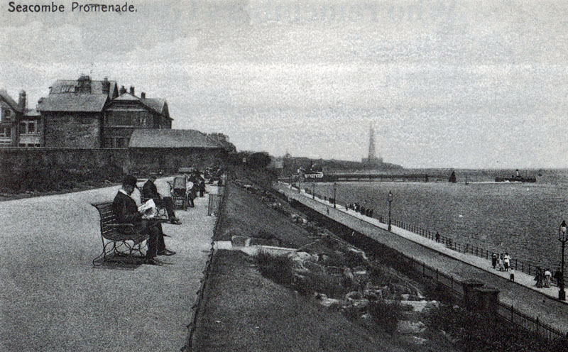
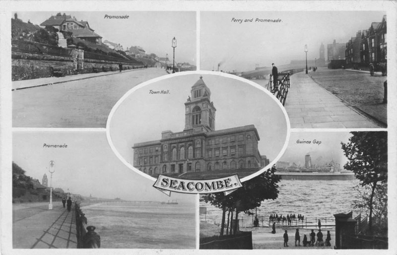
Seacombe
Promenade. Egremont ferry in centre and New Brighton Tower to rear.
1960s - the Atlantean front loader
making its appearance, far left. Advert on building opposite for Players
Cigarettes and below in black 'n' white, the 1928 version of Seacombe Ferry approach from the
other end of the above image!! hose shops were
still there in the 1960s. Below, the same image on 6th June 2012
1928
Image above: stolen from Andrew Barr!! This is NOT a ferry boat but a
luggage boat ferrying freight etc across the river. Possibly the
Liscard.
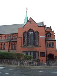
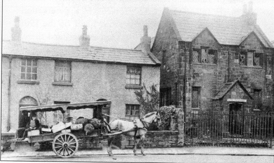
St
Lukes at the bottom of Mill Lane can be seen at the background. Thr area stank
of sewage and it took an Act of Parliament to get drainage etc installed in
the whole of Poulton to relieve the stink and improve the lives of dying
tenants!! The above later became Bidston Dock and the 'ha'penny' bridge
crossed this gap. St Lukes (below) on the skyline.
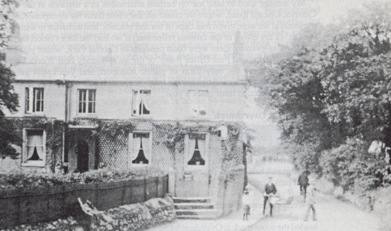
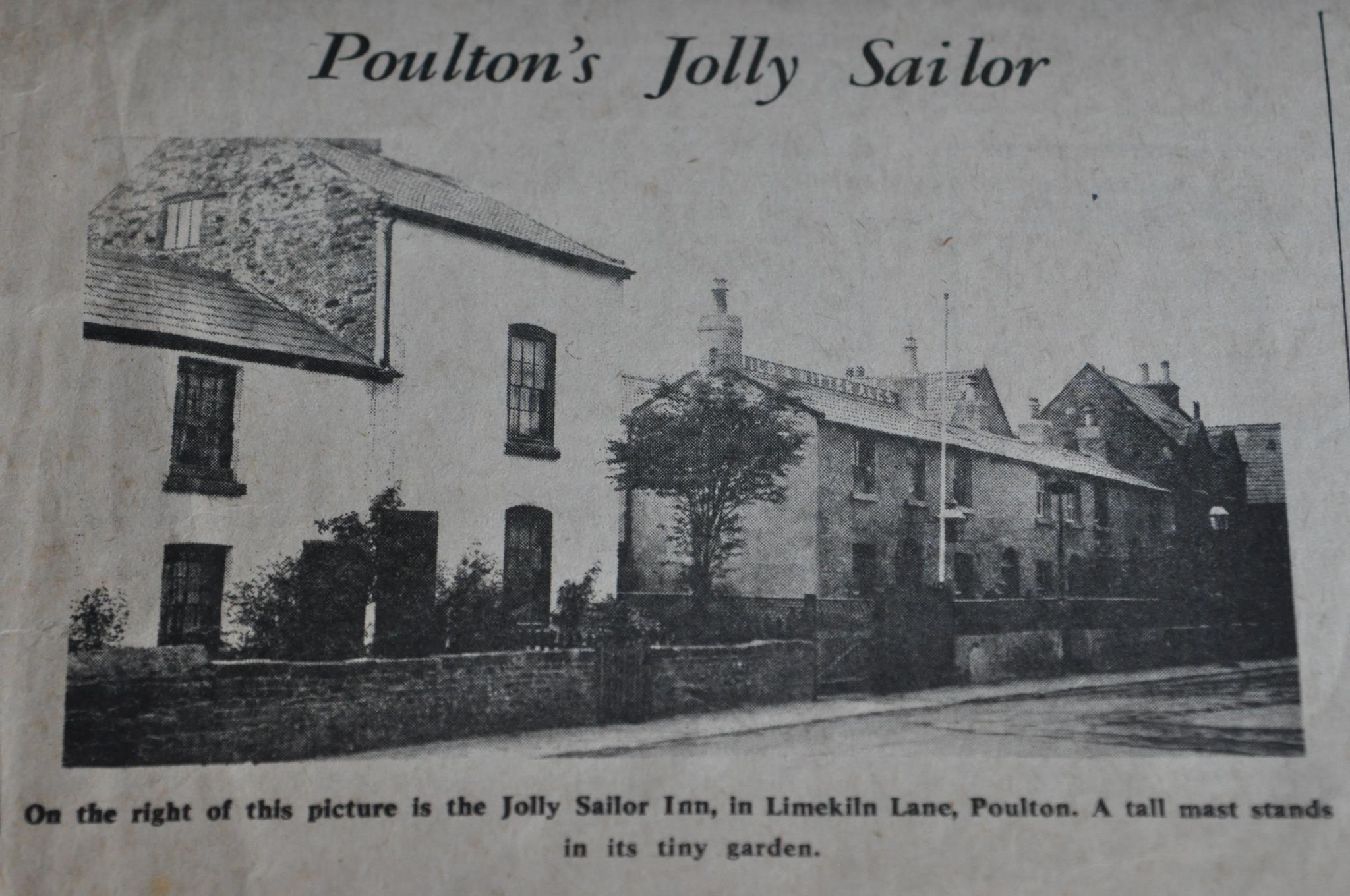
Limekiln Lane
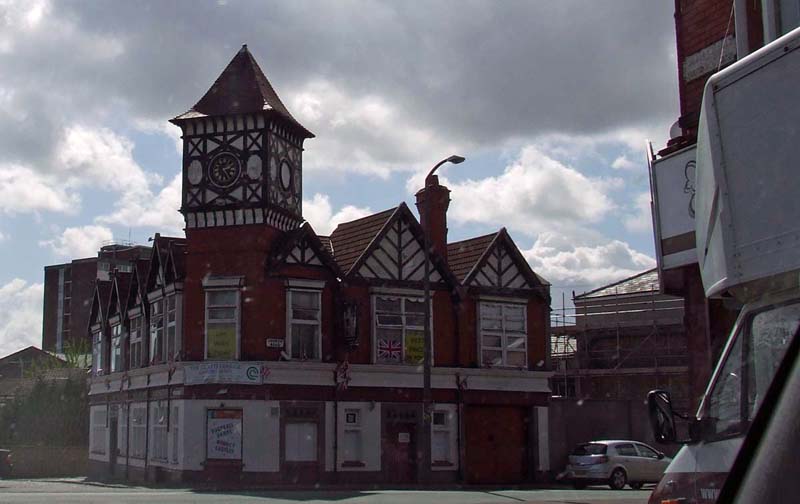
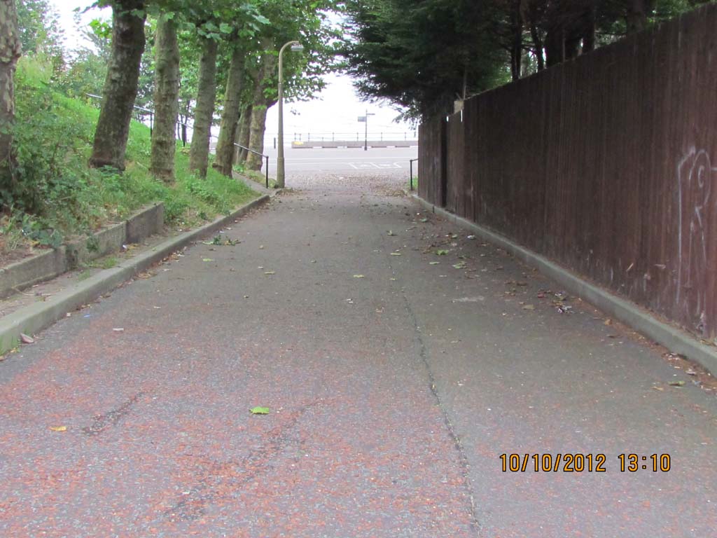
Poulton Road near Lloyds Corner 6th June
2012
Poulton
Road
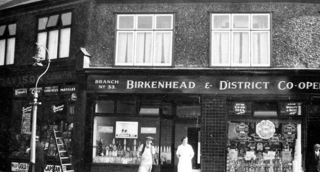
Coop Poulton Road
Above 3, May 2015
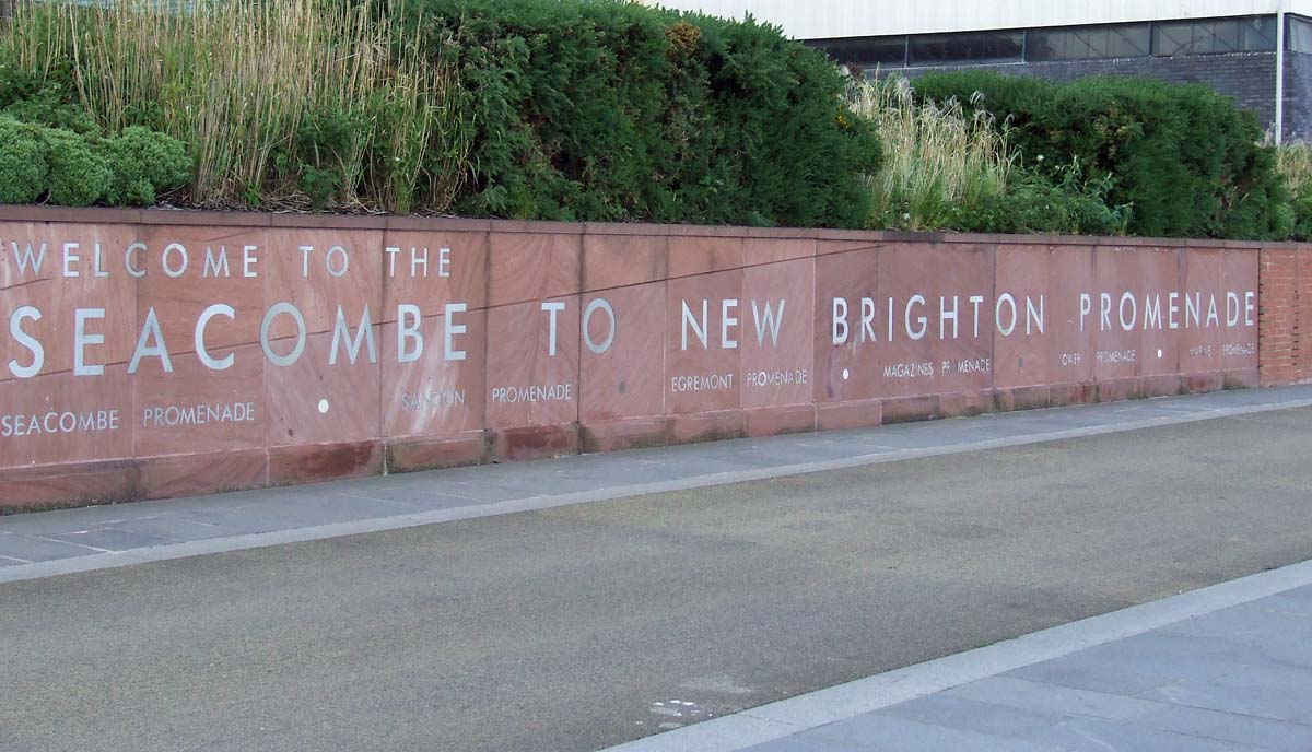
Wall by Seacombe Ferry indicating the
sections of the Promenade between here and the Marine
Parade in New Brighton
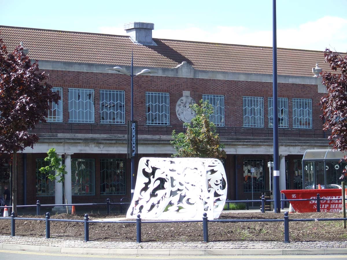
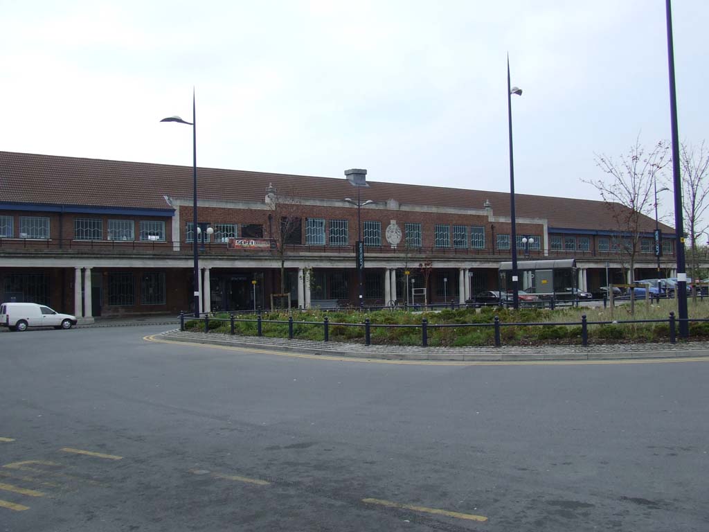
Formerly the Bus Station at Seacombe
Ferry. The so called art is a monstrosity, waste of taxpayers money.
Seacombe from Egremont
Guinea Gap
Guinea Gap
Baths
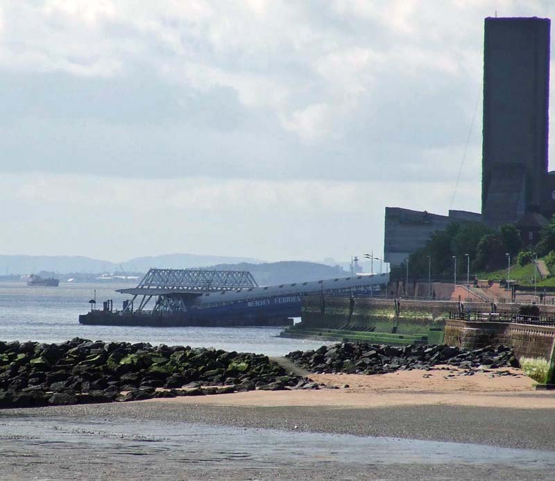
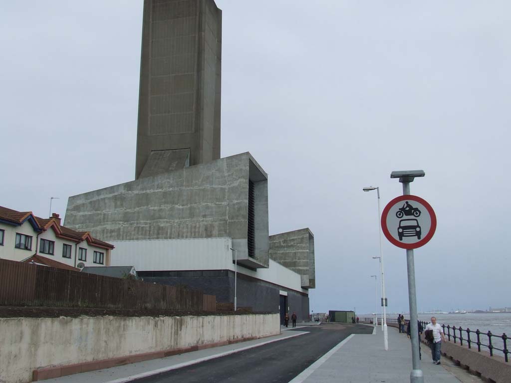
Ventilation tower of Queensway Tunnel and Wallasey Town Hall evident
This was once the thriving bus Terminal at Seacombe. I
would get the No 3 or 5 home!
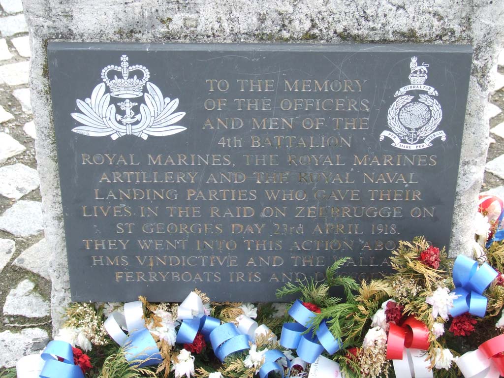
Zeebrugge Memorial 1918
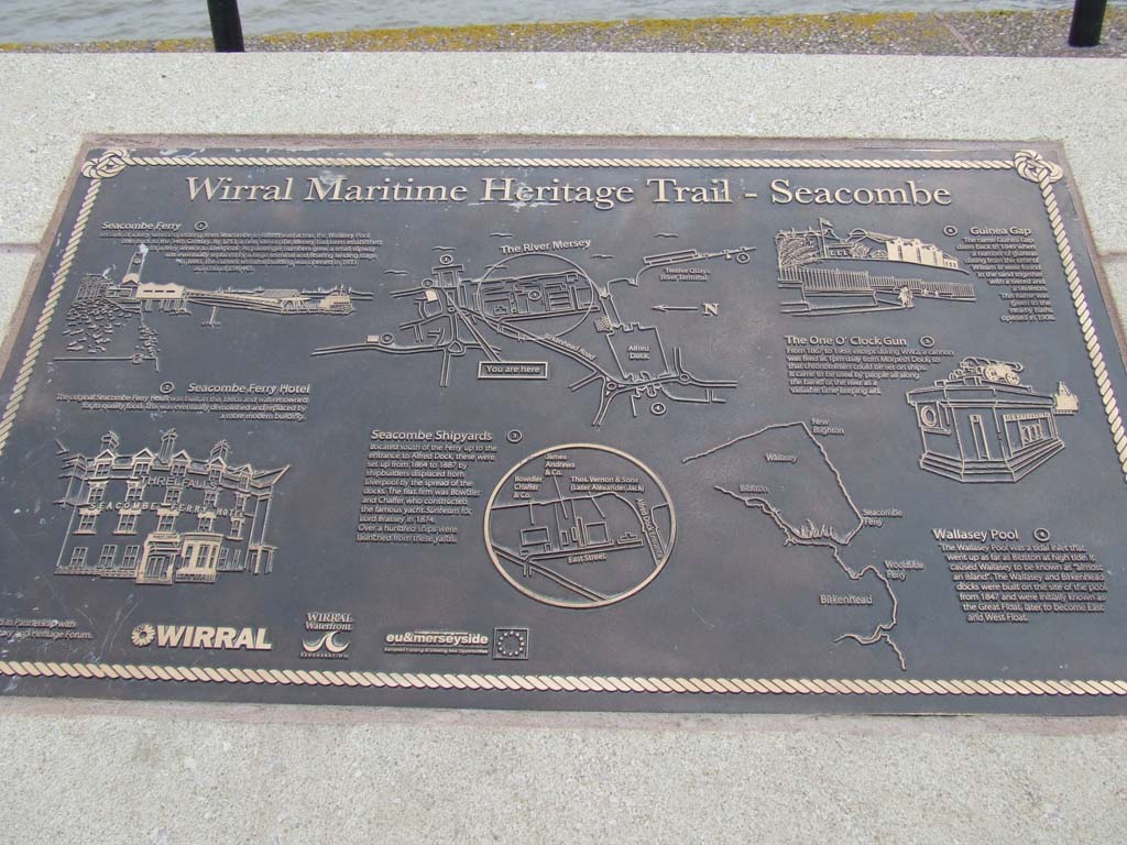
Maritime Heritage Trail - Seacombe Ferry
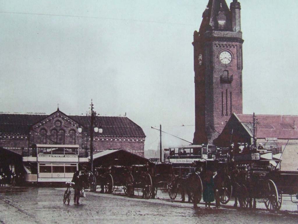
Olde pic of Seacombe Ferry. These are displayed within
the Terminal.
Figures, and horse and cart are painted in
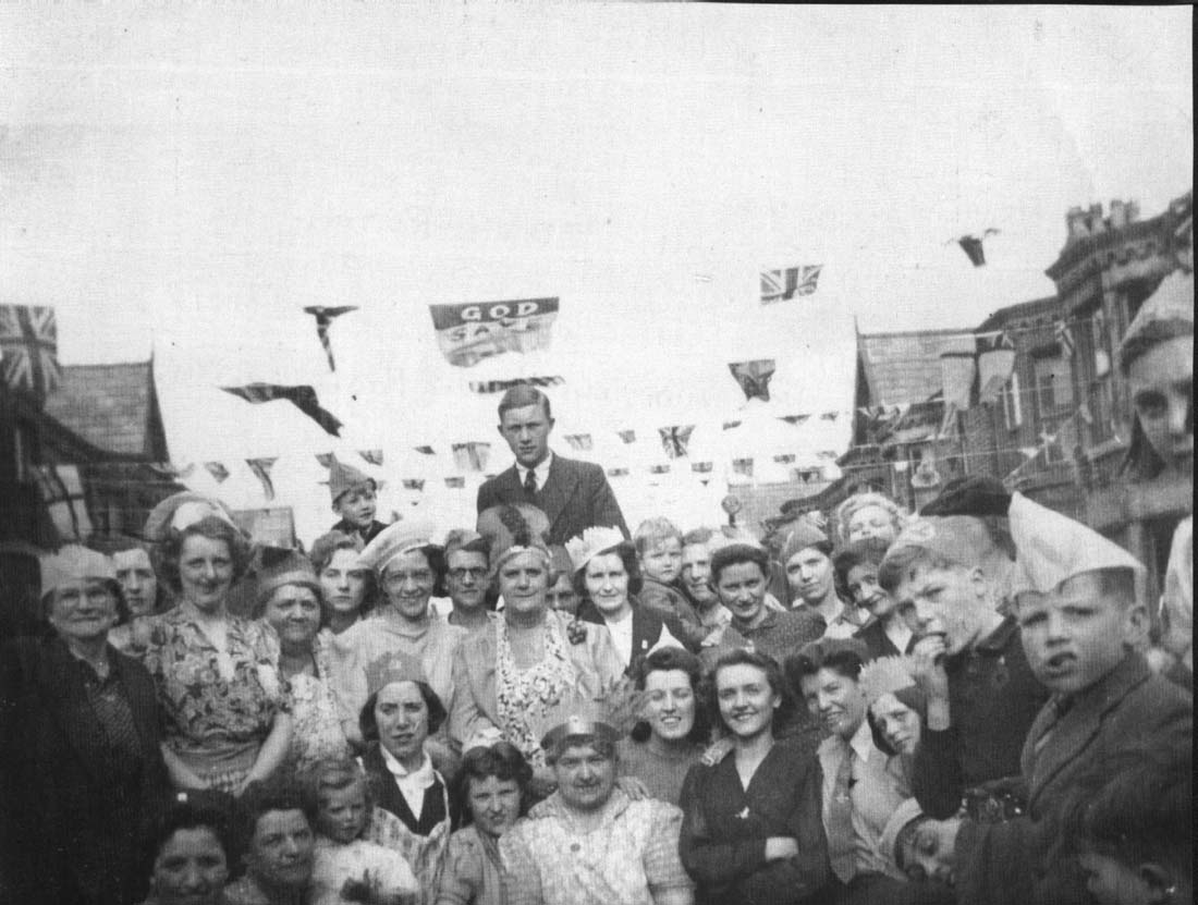
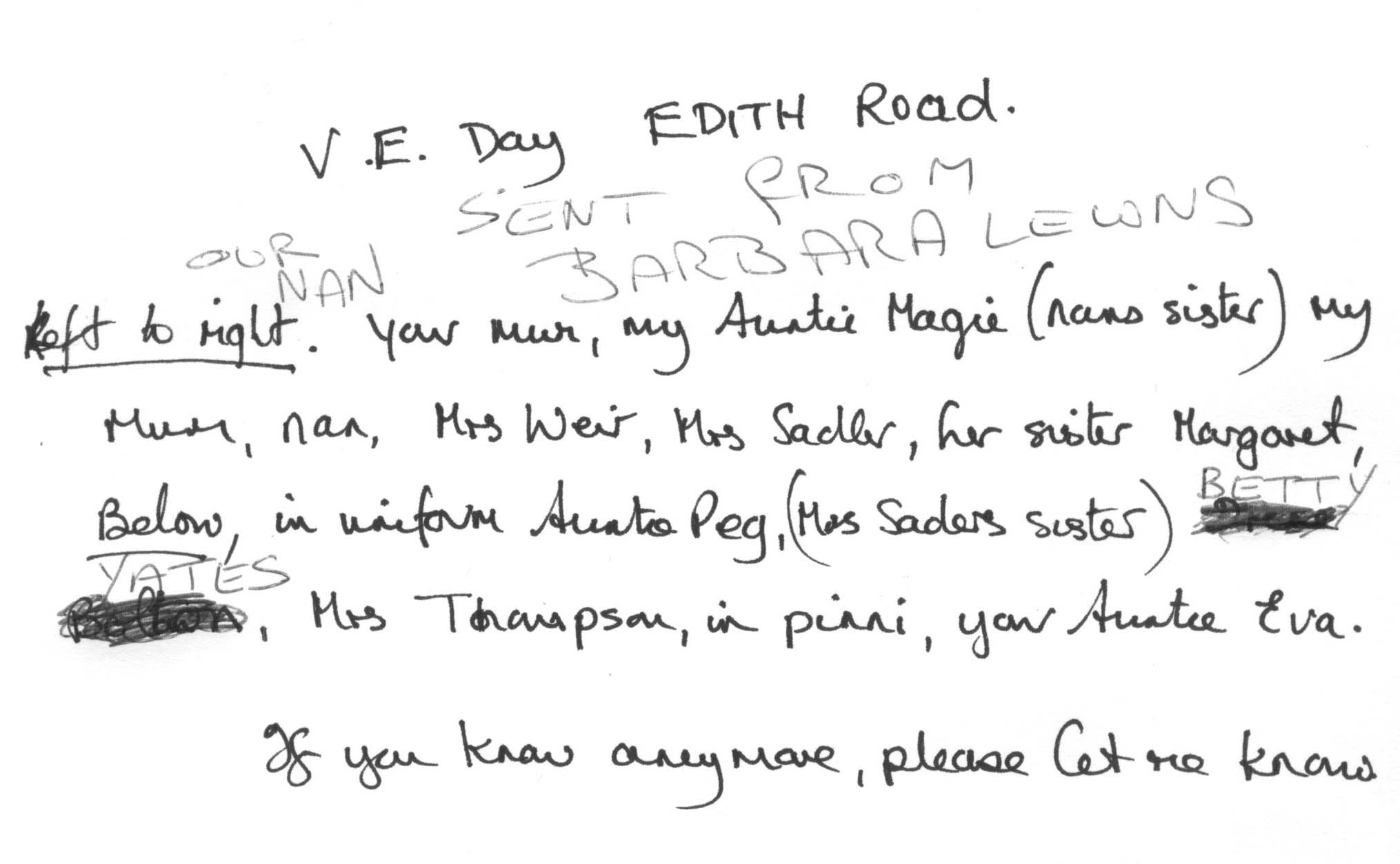
VE Day Edith Road Seacombe
The image below is VE Day celebrations in Edith Road, Seacombe. It was sent
to me by Geoff Ashurst. His sister in law knows some of the people in the
photograph and would like to know more details if possible plus any still alive
with contact details? The back of the photo is included below. Contact geoff -
at - mkshipping.co.uk - replace -at- with @ for a correct email address.


.jpg)